Where is Lucas County, Iowa?
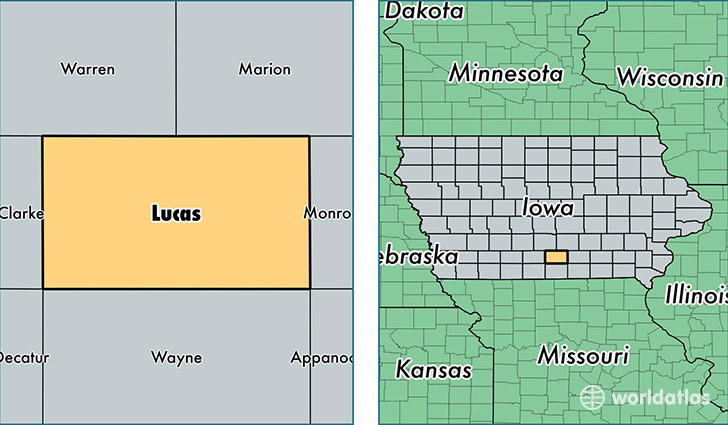
Lucas County is a county equivalent area found in Iowa, USA. The county government of Lucas is found in the county seat of Chariton.
With a total 1,125.11 sq. km of land and water area, Lucas County, Iowa is the 2423rd largest county equivalent area in the United States. Home to 8,701 people, Lucas County has a total 4206 households earning 43288 on average per year.
Lucas County, Iowa - Quick Facts
| FIPS Code | 19117 |
| Area Codes | 641 |
| Time Zone | CST |
| Major Cities | Chariton (population: 6,392), Russell (population: 1,164), Lucas (population: 714), Williamson (population: 149) |
| Land Area | 3,359 sq miles |
| Water Area | 431 sq miles |
| Household Income | $43,288 |
| Housing Units | 4,206 |
| Median Home Value | $82,700 |
| High School Grads | 90% of population |
| Holders of Bachelors Degrees | 11% of population |
| Retail Spending | $8,919 per capita |
This page was last updated on June 30, 2016.