Where is Hancock County, Iowa?
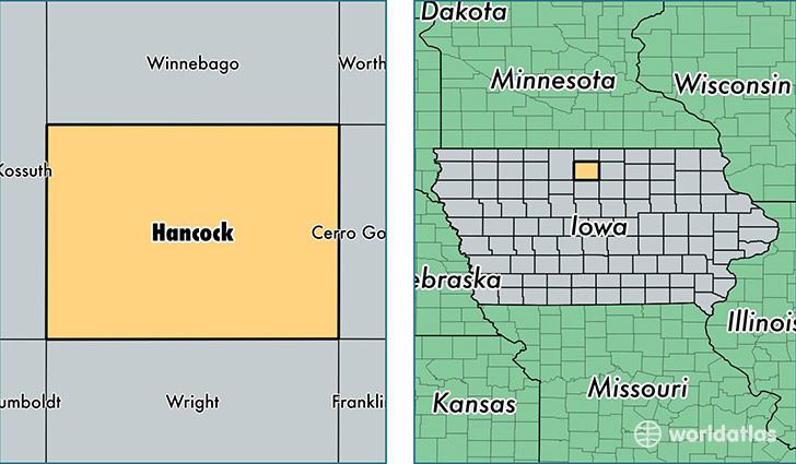
Hancock County is a county equivalent area found in Iowa, USA. The county government of Hancock is found in the county seat of Garner.
With a total 1,484.16 sq. km of land and water area, Hancock County, Iowa is the 1903rd largest county equivalent area in the United States. Home to 11,027 people, Hancock County has a total 5291 households earning 50105 on average per year.
Hancock County, Iowa - Quick Facts
| FIPS Code | 19081 |
| Area Codes | 641,515 |
| Time Zone | CST |
| Major Cities | Garner (population: 4,083), Britt (population: 2,921), Kanawha (population: 1,061), Klemme (population: 710), Corwith (population: 509), Woden (population: 435), Goodell (population: 283), Crystal Lake (population: 247) |
| Land Area | 4,258 sq miles |
| Water Area | 571 sq miles |
| Household Income | $50,105 |
| Housing Units | 5,291 |
| Median Home Value | $85,300 |
| High School Grads | 91% of population |
| Holders of Bachelors Degrees | 17% of population |
| Retail Spending | $10,549 per capita |
| Food & Accomodation Sales | $4,144 per capita |
This page was last updated on June 30, 2016.