Where is Rabun County, Georgia?
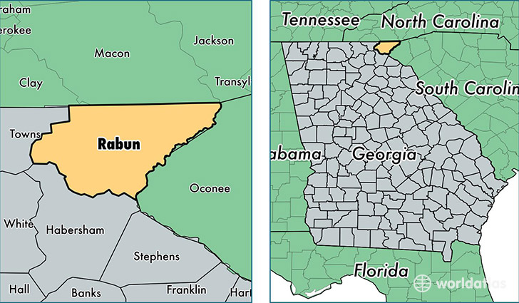
Rabun County is a county equivalent area found in Georgia, USA. The county government of Rabun is found in the county seat of Clayton.
With a total 976.12 sq. km of land and water area, Rabun County, Georgia is the 2668th largest county equivalent area in the United States. Home to 16,243 people, Rabun County has a total 12391 households earning 35423 on average per year.
Rabun County, Georgia - Quick Facts
| FIPS Code | 13241 |
| Area Codes | 706 |
| Time Zone | EST |
| Major Cities | Clayton (population: 7,373), Tiger (population: 2,524), Rabun Gap (population: 1,879), Lakemont (population: 1,699), Dillard (population: 1,250), Mountain City (population: 1,129), Tallulah Falls (population: 163), Wiley (population: 73) |
| Land Area | 6,271 sq miles |
| Water Area | 370 sq miles |
| Household Income | $35,423 |
| Housing Units | 12,391 |
| Median Home Value | $168,300 |
| High School Grads | 85% of population |
| Holders of Bachelors Degrees | 27% of population |
| Retail Spending | $14,153 per capita |
| Food & Accomodation Sales | $41,073 per capita |
This page was last updated on June 30, 2016.