Where is Montgomery County, Georgia?
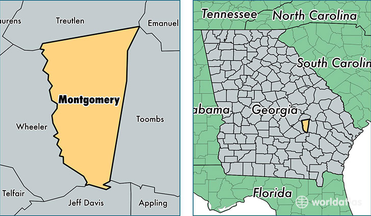
Montgomery County is a county equivalent area found in Georgia, USA. The county government of Montgomery is found in the county seat of Mount Vernon.
With a total 633.75 sq. km of land and water area, Montgomery County, Georgia is the 2963rd largest county equivalent area in the United States. Home to 8,991 people, Montgomery County has a total 3861 households earning 32702 on average per year.
Montgomery County, Georgia - Quick Facts
| FIPS Code | 13209 |
| Area Codes | 912 |
| Time Zone | EST |
| Major Cities | Mount Vernon (population: 3,209), Ailey (population: 2,118), Alston (population: 78) |
| Land Area | 3,471 sq miles |
| Water Area | 239 sq miles |
| Household Income | $32,702 |
| Housing Units | 3,861 |
| Median Home Value | $74,300 |
| High School Grads | 82% of population |
| Holders of Bachelors Degrees | 16% of population |
| Retail Spending | $2,753 per capita |
| Food & Accomodation Sales | $2,877 per capita |
This page was last updated on June 30, 2016.