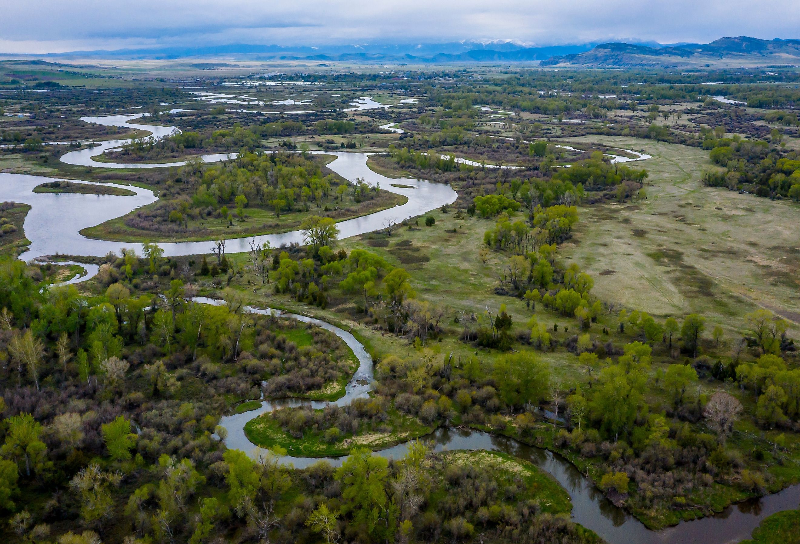
The 10 Longest Rivers in the United States
Rivers are the lifeblood of the United States. Trade, transport, and recreation are all essential aspects of American daily life that exist thanks to the endless supply of rivers in the US. Many of these rivers wind through multiple states, making them some of the longest rivers in the world.
1. Missouri River - 2,540 Miles
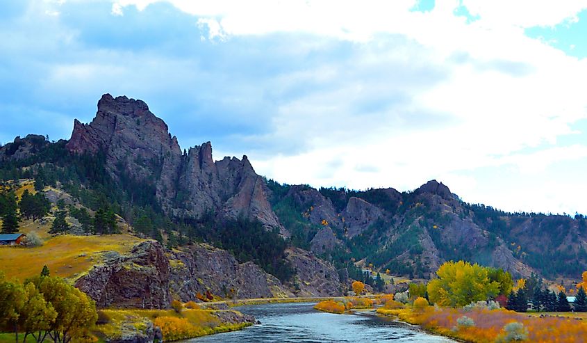
The largest river in the United States and one of the largest in the world is the mighty Missouri River. Starting high in the mountains of Montana, the Missouri River travels through four other states before finally reaching St. Louis. The Missouri River has long served the "Great Plains" of the United States as a center of travel and trade. Once the river reaches St. Louis it eventually connects to the Mississippi and then into the Gulf of Mexico, making it the fourth-largest river system in the world.
Often called "Big Muddy," the Missouri River is famous for the gargantuan loads of sediment that pass through it. This gives the river's water a dark brown tinge which is often confused for pollution or contamination.
2. Mississippi River - 2,350 Miles
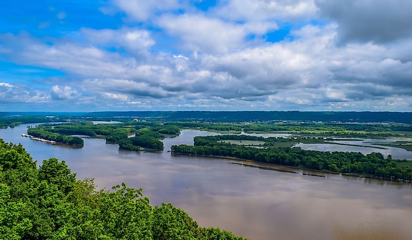
Stretching the entire height of the continental United States, the Mississippi River is without a doubt the most important waterway in the country. Starting up north in the Minnesota woodlands down to Mississippi and the Gulf of Mexico, this river has long been an integral part of the trade, wealth, and commerce in the region.
The water of the Mississippi passes through ten states and leaves its mark on each of them. Recreational activities alone generate nearly 21 billion dollars each year, not to mention commercial trade and transportation. Over 500,000 jobs are directly connected to the Mississippi River. It has been accurately described in the past as the "artery" of the American economy.
3. Yukon River - 3,185 Miles (1,980 Miles in the US)
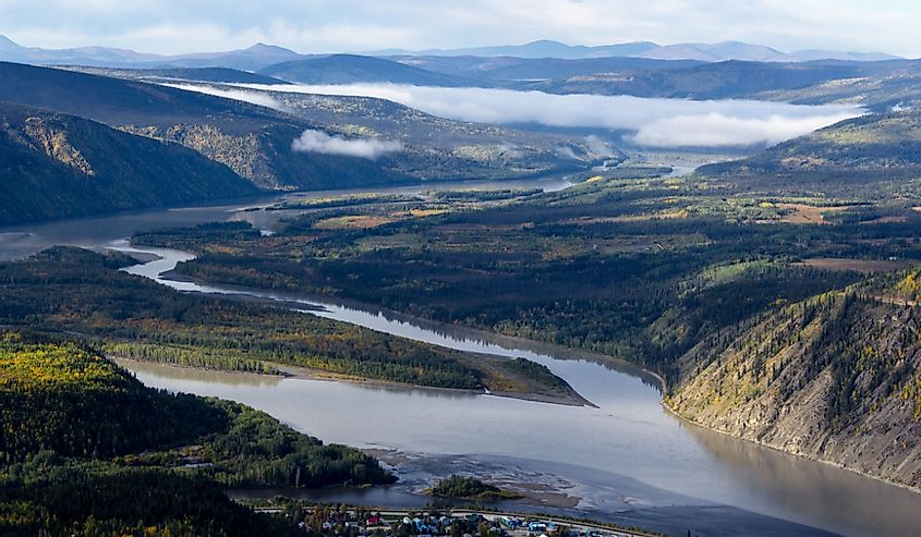
The Yukon River begins on the west coast of Alaska and ends in the northernmost area of British Columbia, Canada. Technically the longest river on this list, the US portion of the river is only 1,980 miles. Certainly one of the most beautiful in North America, the Yukon River winds its way through dense forests, towering mountains, and flat sandy deltas. Its immense natural beauty has long been a source of tourism in the area.
Fishing and hunting are also popular activities along the river. If you do visit the summertime is ideal. The coldest recorded temperature in North American history was along its banks, recorded at an astounding -81°F (-63°C).
4. Rio Grande River - 1,900 Miles
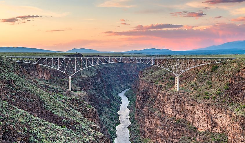
Beginning in the San Juan Mountain Range in the Colorado Rockies and ending in the Gulf of Mexico the Rio Grande serves as much more than a conduit of transportation and recreation. The Rio Grande River is one of the few natural borders the United States has with its neighbors. The Rio Grande is what makes up the border between Texas and the Mexican states of Chihuahua, Coahuila, Nuevo-Leon, and Tamaulipas.
Known for being quite unreliable, in 2001 the Rio Grande failed to make it all the way to the Gulf of Mexico for the first time in recorded history. This has been attributed to overuse by the many towns, cities, and farms that redirect its water flow.
5. Arkansas River - 1,460 Miles
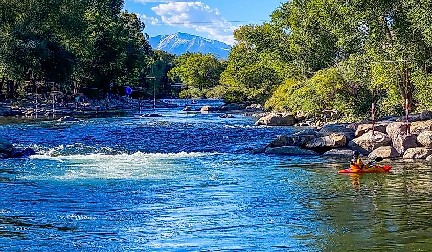
A tributary river into the Mississippi, the Arkansas River flows through Oklahoma, Kansas, and of course, Arkansas. One of the most important rivers in the mid-west, the Arkansas River is an irreplaceable hub of trade and commerce in the region.
The Arkansas River is bustling with wildlife and aquatic animals. For centuries, Americans have flocked to fish and camp. It is common for locals to also kayak on some of the rougher parts of the river and canoe when things flatten out.
6. Colorado River - 1,450 Miles
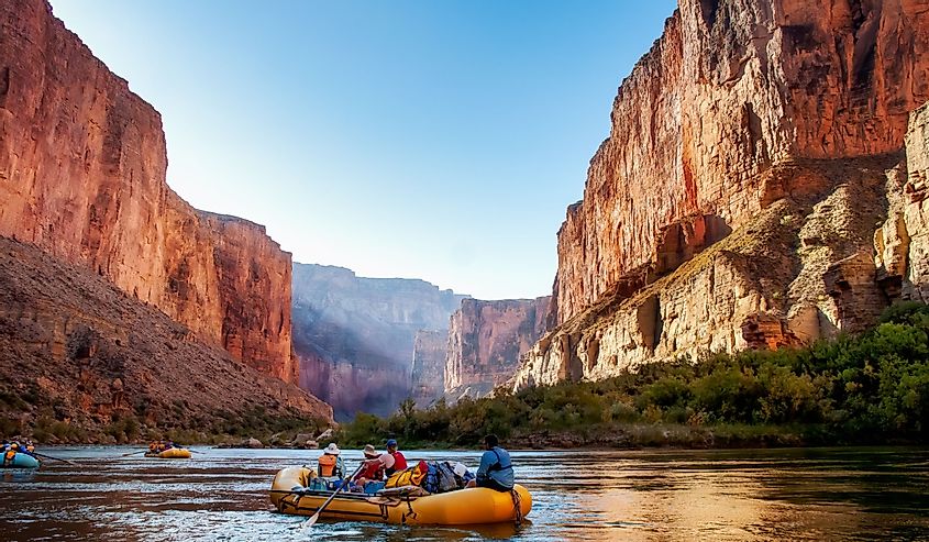
Another river that formed out of the Rocky Mountains in Colorado, the Colorado River provides a much-needed water source to the typically dry and arid American Southwest. Large population centers such as Las Vegas and Pheonix are both set up next to the river or are a part of its river system.
The Colorado River flows through some of the most unique terrains that the United States has to offer. Desert canyons and mesas dominate the landscape as the river finally empties out into the Pacific Ocean. The Grand Canyon has the Colorado River to thank for its unfathomable size. Scientists estimate the Colorado River is one of the oldest on the continent.
7. Red River - 1,290 Miles
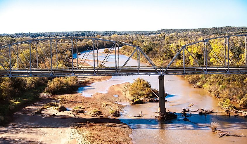
Another tributary of the mighty Mississippi River, the Red River gets its name thanks to the brownish-red color of its water, caused by large amounts of red dirt and sediment. The early exploration of this river was nearly impossible thanks to a nearly 160-mile log jam that made sailing and rafting impossible. Only after this bizarre natural occurrence cleared did American settlers begin to inhabit the area. The westernmost portions of the river are usually quite quiet and peaceful whereas closer to the Mississippi is where more traffic picks up.
8. Columbia River - 1,240 Miles
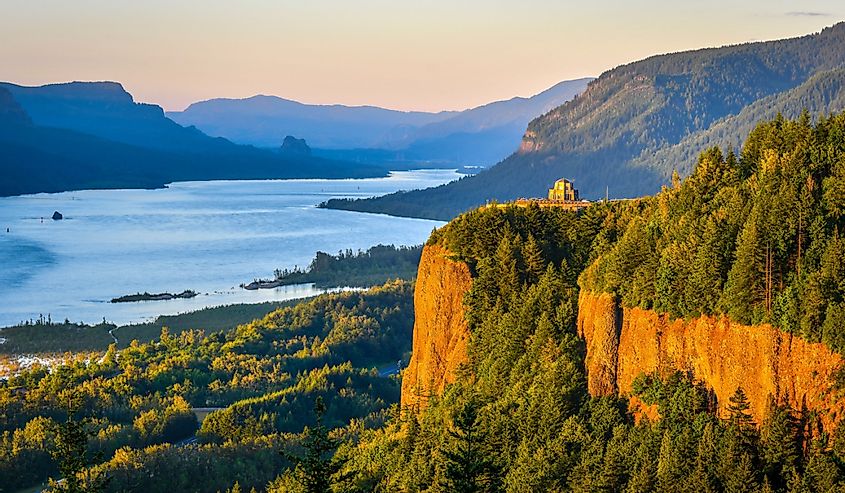
Starting in the Canadian province of British Columbia, the Columbia River swoops down across the 49th parallel and provides the good people of Oregon and Washington State a direct avenue to the Pacific Ocean.
The Columbia River is host to a series of crucial hydroelectric dams throughout the Pacific Northwest. These dams generate immense amounts of energy and power local towns and cities across the region. The nearby rainforests are also helped greatly by the Columbia. A constant flow of water helps contribute to some of the most stunning landscapes in the world.
9. Snake River - 1,078 Miles
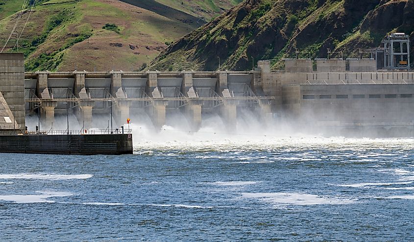
Originating in Wyoming, the Snake River tears its way through Idaho and into eastern Washington. The river terminates once it reaches the Columbia River that intercepts it coming from the north.
Snake River provides these rural areas with plenty of irrigation water for farming. However, one of the standout features of the river has to be its salmon runs. Every year hundreds of thousands of salmon lay their eggs in the Snake River and then travel down into the ocean. Fly fishing here is truly one of a kind.
10. Ohio River - 981 Miles
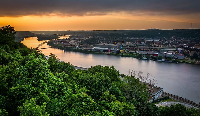
Extending from Pittsburg to Illinois, the Ohio River gives much of the Midwest life and access to other parts of the nation. The Ohio River also serves as a natural boundary between numerous states.
The Ohio River is easily navigable and played an integral part in westward expansion in the early 1800s. Today the river is a vital trade route as well as a source of water for irrigation and drinking water.
The rivers of the United States are one of the biggest reasons for its large economy. Without easy access to the interior of the country, there is no telling what modern America would look like today. Whether it is more trade, travel, or recreation, each waterway plays its part.
