New France
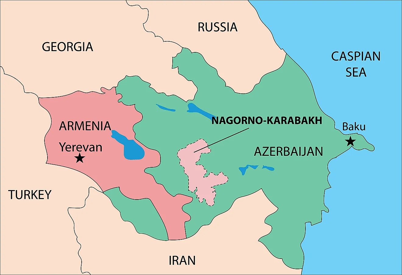
New France was a large area in continental North America that was colonized by France from 1534 to 1763. The huge territory comprised of five individual colonies including Canada (Québec, Trois-Riviéres and Montréal), Hudson’s Bay, Acadie, Plaisance and Louisiane. The territory stretched from the Hudson Bay to the Gulf of Mexico and from Newfoundland to the Canadian prairies.
Discovery And Exploration

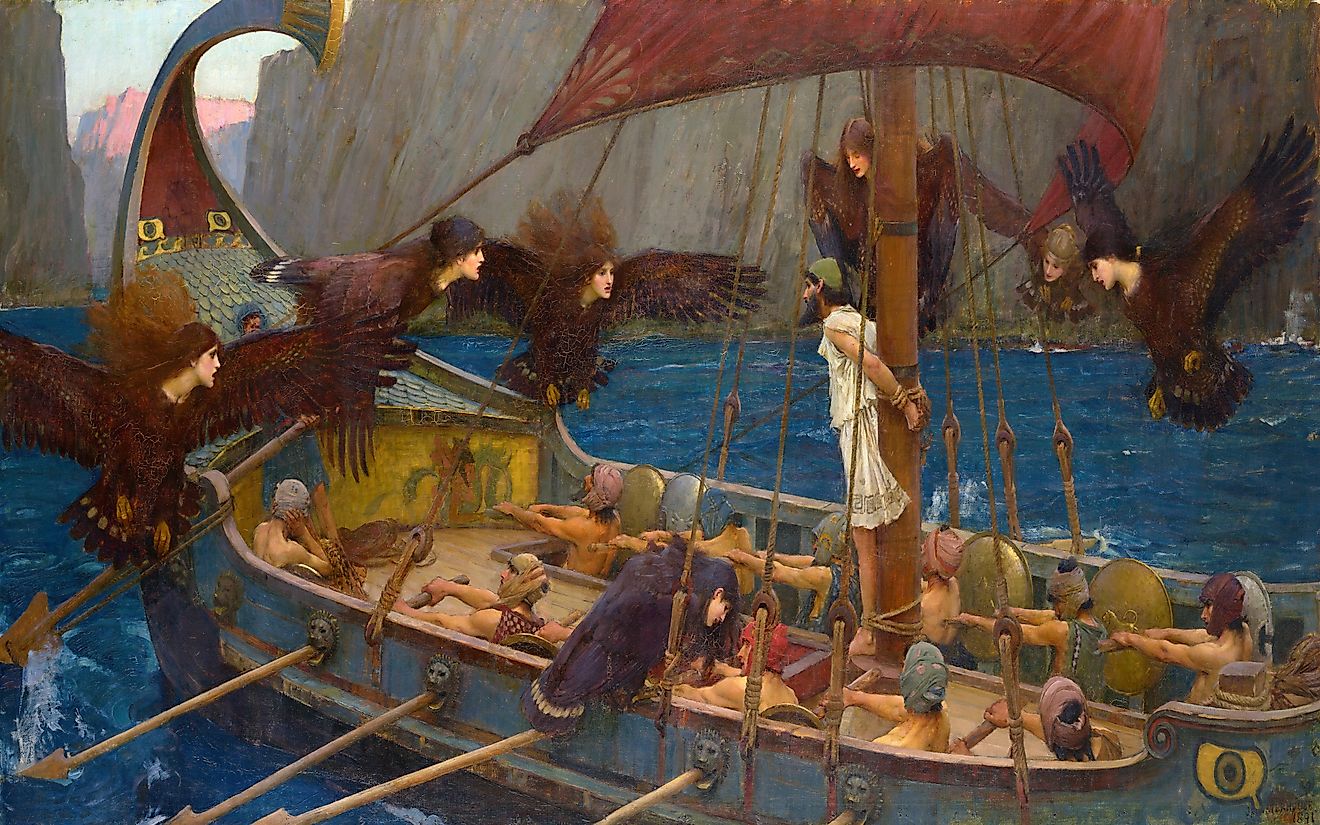
The Italian navigator Giovanni da Verrazzano explored the coast of North America from what is currently known as the Carolinas up to the north. This led his sailing ship to the present-day New York, which he named Nouvelle-Angoulême in the honor of the French King, Francis I. Verrazzano’s exploration convinced the King to establish a colony in the newly explored area. This territory that was located between the English Newfoundland and New Spain (Mexico) were named by Verrazzano as Nova Gallia (New France) and Francesca.
In 1534, the French maritime navigator Jacques Cartier took possession of the New France territory for King Francis I by mounting a cross on the Gaspé Peninsula. The next year, the French fleet sailed further into the St. Lawrence River and visited the Indigenous settlements at Stadacona (Quebec City) and Hochelaga (Montreal). In 1541, Jacques Cartier along with Sieur de Roberval and Jean-François de La Rocque established the first short-lived colony, which was named Charlesbourg-Royal by Cartier. Their attempt to establish a French settlement in North America turned out to be unsuccessful. In 1604, the French established the colony of Acadia in the surrounding areas of the Gulf of St. Lawrence.
Colonization

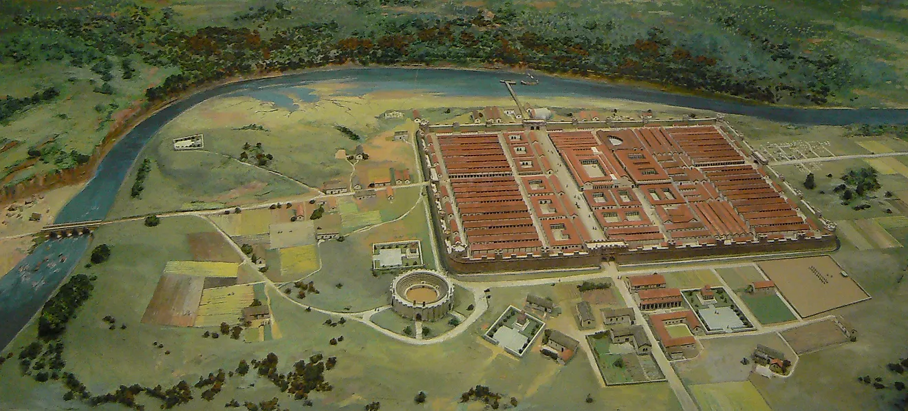
The French King Henry IV sent Samuel de Champlain, Pierre Dugua, Sieur de Mons, and a group of 28 men to establish the city of Quebec in 1608. However, the early settlers of the land succumbed to the harsh climatic conditions and diseases and therefore colonization attempts on the land proved to be quite difficult. Champlain then established alliances with the Indigenous Algonquin and Montagnais who were then in conflict with the Haudenosaunee (Iroquois) people. In 1627, the French Chief Minister Cardinal Richelieu established the Company of One Hundred Associates for facilitating more investment in New France and thereby make the French colonies more prosperous. However, in 1629, Quebec City was captured by the British and remained under their control till 1632. Samuel de Champlain returned to establish Trois Riviéres, the second city in New France.
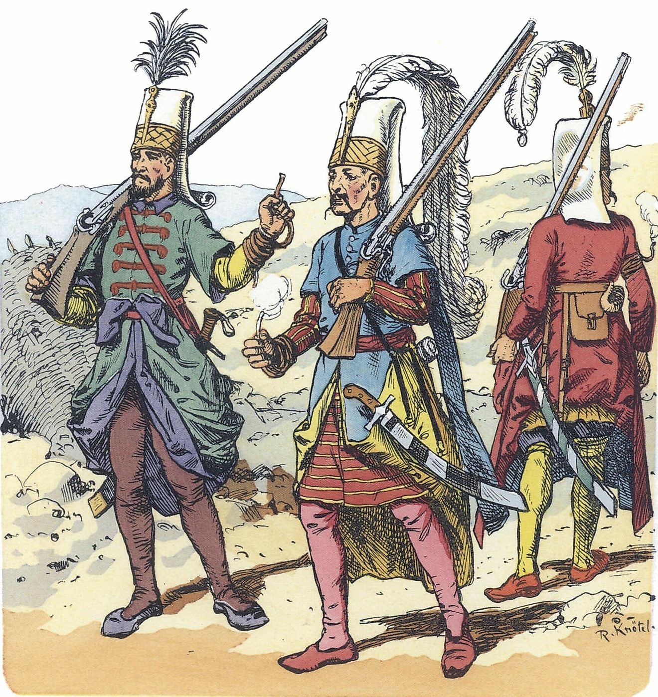
The French King Louis XIV in 1663 dissolved the Company of One Hundred Associates and made the colony of New France a royal province. The King also sent the Carignan-Saliéres Regiment to Quebec in 1665, to conquer the Indigenous Iroquois in order to occupy their land. More than 3,000 settlers which included girls of marriageable age were sent to the territory during 1663-1673 to develop and populate New France. The French built several forts throughout the massive territory to protect it from the Indigenous peoples and also to prevent the British from expanding in the Americas.
The French then moved towards the Great Lakes and the Mississippi River and claimed their possession over a large part including the Ohio River Valley, Mississippi River Valley, La Louisiane, and other settlements. Both the British and French economies were heavily dependent on the fur trade and this led to the Fur Wars from 1613 onwards. In 1713, the French surrendered the regions of Acadia, Hudson Bay, and Newfoundland as per the Treaty of Utrecht. In 1756, the Seven Years' War started in Europe. The American part of this war was referred to as the French and Indian War. In the beginning, the French who fought together with the aboriginal tribes launched surprise attacks on the British settlements. But soon they were overpowered by the British forces. The war finally ended in 1763 with the Treaty of Paris and French rule in North America came to an end, and the territory of New France was transferred to the British.