Great Bear Lake
Although Canada is the second-largest country by size after Russia, it has the most lakes in the world. Close to 10% of its surface area is covered in freshwater. Experts believe there are over 2 million lakes in the country, of which 31,752 lakes measure over three square kilometers, and 561 lakes are at least 100 square kilometers. The Great Bear Lake is Canada’s largest lake, located entirely within its borders.
Where Is Great Bear Lake?

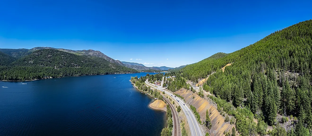
The Great Bear Lake is a lake in the Northwest Territories, straddling the Arctic Circle, between the Interior Platform and Canadian Shield, as well as the northern tundra and boreal regions. It is located in the southern Inuvik and northern Fort Smith regions. Great Bear Lake is approximately 495 km northwest of Yellowknife, the Northwest Territories’ capital. It is bounded by the uninhabited Fort Confidence to the north, the abandoned former mining area called Port Radium to the east, and the community of Deline to the west.
Geography
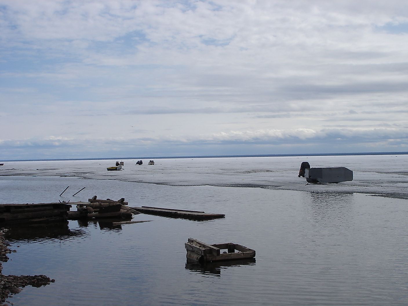
The Great Bear Lake is irregularly-shaped and covers a surface area of approximately 31,328 km2. It is North America’s fourth-largest lake and the world’s eighth-largest lake by surface area. The lake is 320 km long and 40-175 km wide. With a maximum depth of 413 m, the lake’s volume is 2,236 km3. Its average depth is 72 m. It is also the world’s tenth-largest lake by volume.
Great Bear Lake has five arms: McVicar (south), Smith (northwest), Keith (southwest), McTavish (southeast), and Dease (northeast). Several rivers flow into the lake, including Big Spruce River, Whitefish River, Haldane River, Dease River, Sloan River, Johnny Hoe River, and Bloody River. The Great Bear River is the main outflow that drains the lake, draining it into the Mackenzie River. Numerous islands, sharp cliffs, and fjord dot the northern shores, while the southern shore is generally flatter.
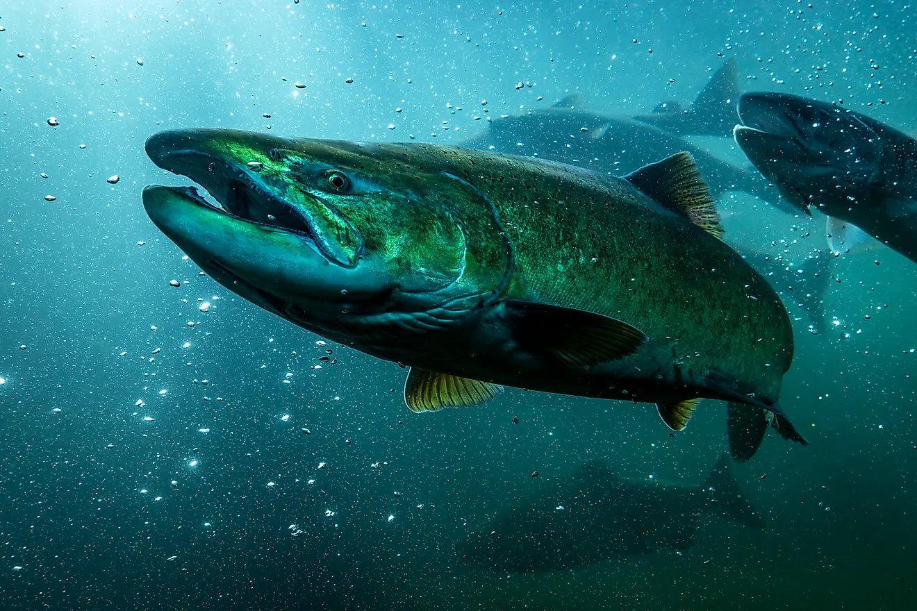
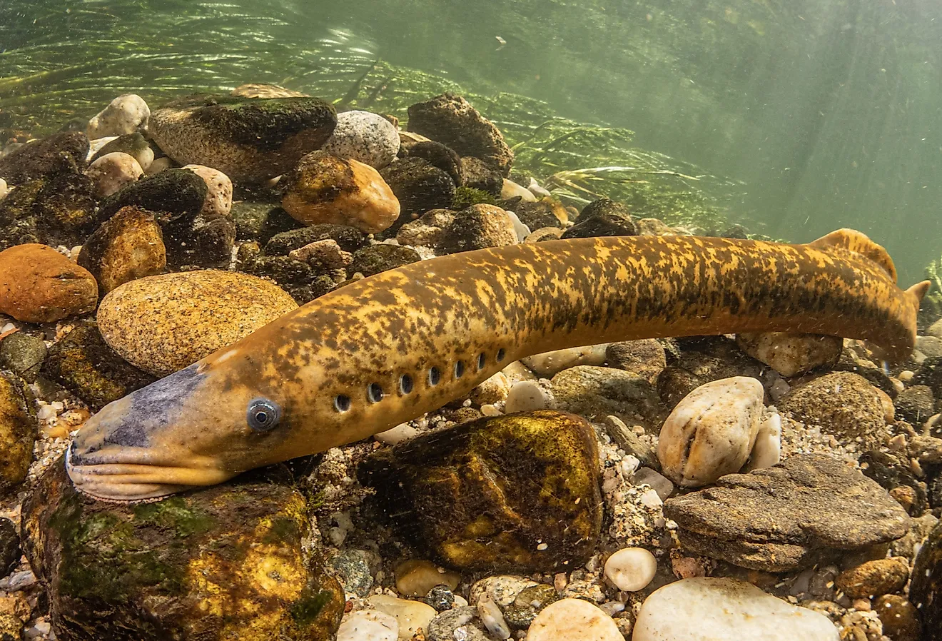
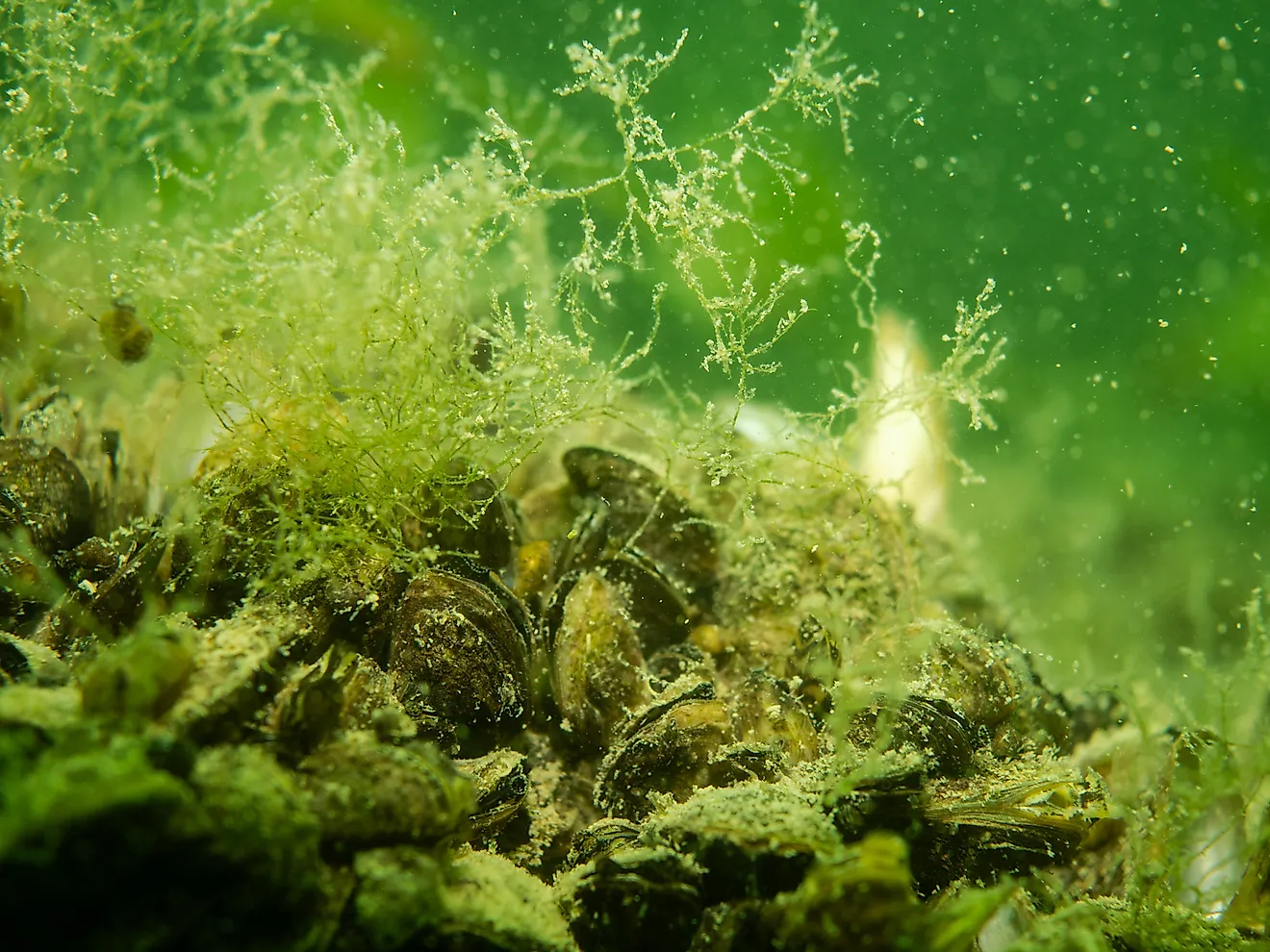
The lake is surrounded by freshwater rivers that drain nutrient-poor lands. The lake also has a small drainage basin, and temperatures are generally cold. Thus, it supports relatively little flora and fauna. The lake has only 15 fish species, the fewest of Canada’s major lakes. Important fish communities in the lake include Lake trout, Arctic char, Lake Whitefish, and cisco.
Brief History

The North West Company traders discovered the lake in 1800 and later named it "Bear Lake" for the bears who lived on its shores. The name was derived from a Chipewyan word Satudene, translating to "grizzly bear water people." The lake has been a historically important area for fisheries and hunting, especially for the Inuvialuit and Dene peoples. In 1779, the North West Company established a post in Deline, which became Sir Joh Franklin’s winter headquarters during his second arctic exploration. Silver, uranium, and radium were discovered on the eastern shores in the 1930s. However, most of the mining activities ceased after World War II due to labor shortages.
The small community of Deline is the only settlement around the Great Bear Lake. The small community is located on the Keith Arm, near the Great Bear River’s mouth. Deline, meaning “where the water flows,” is a community of about 600 people, mainly the Sahtuto’ine Dene. The lake is an important fishing and hunting ground for the locals and also influences their culture, laws, and identity.