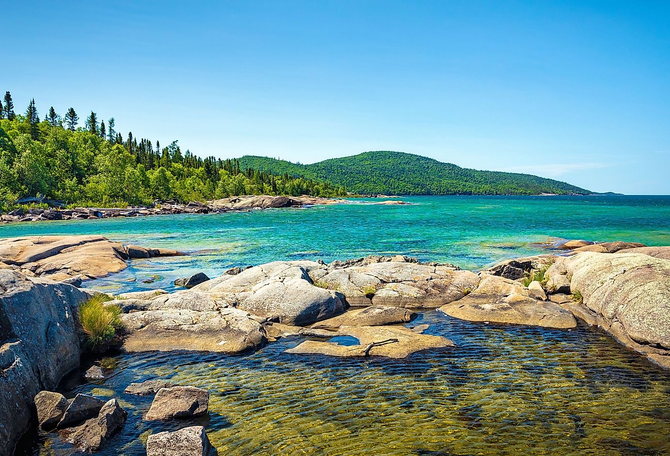
Gulf Of Bothnia
Covering an area of 117,000 km2, the Gulf of Bothnia is the northernmost part of the Baltic Sea, located in Northern Europe. The Gulf of Bothnia is bordered by Sweden in the west and by Finland in the east. The Åland Islands of Finland, which are bordered by the Sea of Åland and the Archipelago Sea, are situated at the southern end of the Gulf of Bothnia.

Geography
The Gulf of Bothnia has a width of 80 to 240 km and is about 725 km in length. The gulf’s maximum depth is about 295 m at its deepest point, while its estimated average depth is 60 m. The areas that surround the Gulf are covered by extensive forests. A large number of Swedish and Finnish rivers drain into the gulf including the Ångerman, Dalälven, Iijoki, Indalsälven, Kemijoki, Kalajoki, Lule, Oulujoki, Pite, Skellefte, Torne, and Ume rivers. It receives a huge freshwater outflow from these rivers which affects the salinity of the gulf. The salinity of the gulf’s surface water thus decreases from 4-5 parts per 1,000 in the gulf’s southern part to about 1-3 parts per 1,000 in its northern part.

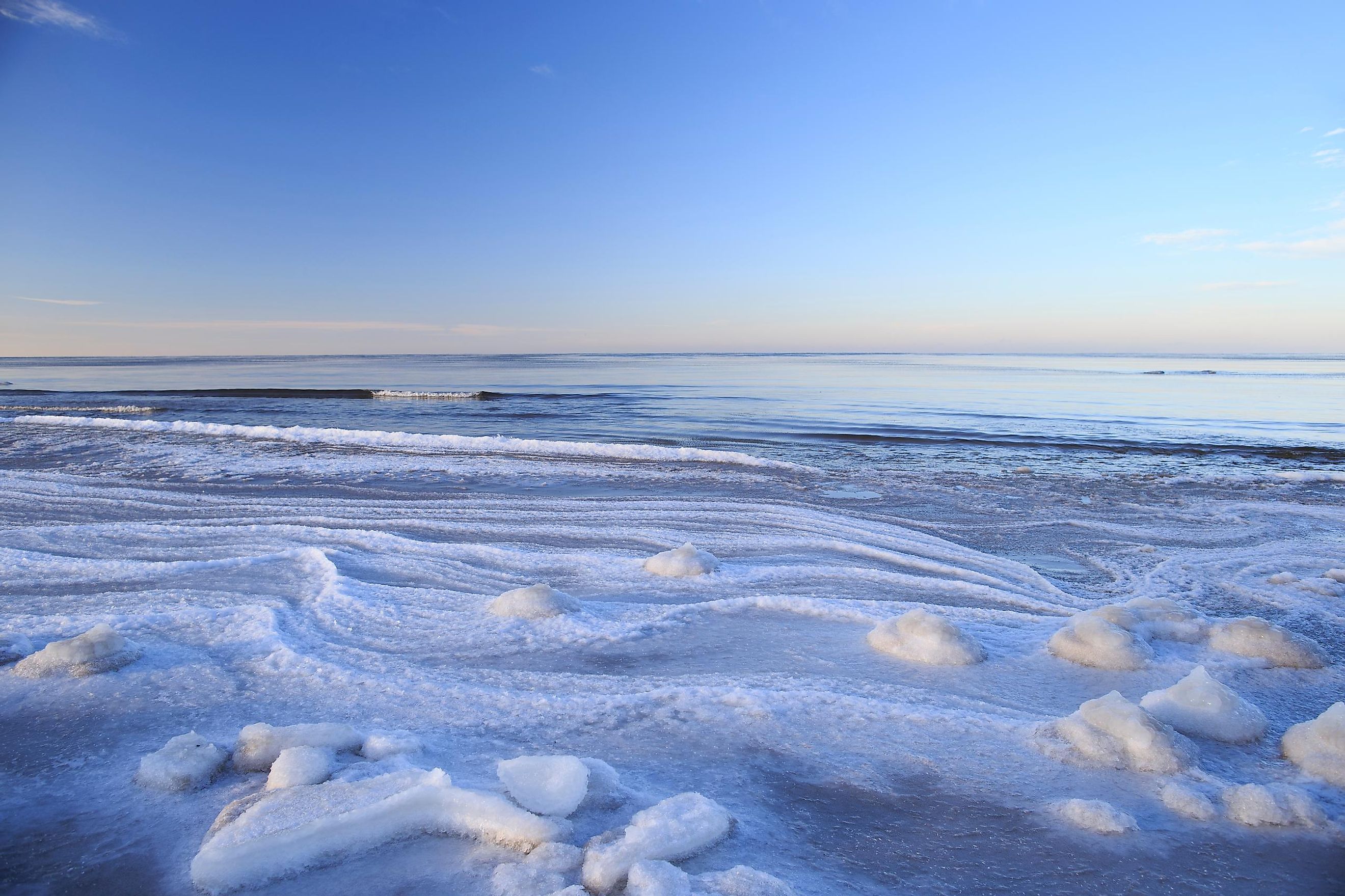
The Gulf of Bothnia has two major basins: the Bothnian Bay and the Bothnian Sea. The two basins are separated by a 25 m-shallow sill known as the Northern Quark (Kvarken Strait). The Gulf of Bothnia is strongly influenced by the Arctic-continental climate and therefore faces extremely harsh winters. During the winter months, most of the northern parts of the gulf are completely covered with ice and remain frozen for more than six months every year. The average temperature is about 15oC during the summer months of June-September.
There are numerous small islands in the Gulf of Bothnia. Finland’s Åland Island archipelago, which comprises more than 6,000 islands, is located in the southern part of the Gulf of Bothnia at its entrance to the Baltic Sea. Fasta Åland is the archipelago’s largest and most populous island. Situated in the narrowest part of the Gulf of Bothnia is the Replot Island, which is also Finland’s fourth-largest island.
Economy

Some of the notable Swedish cities and towns that are located along the Gulf of Bothnia are Gävle, Härnösand, and Luleå. The significant Finnish cities and towns that are located here are Jakobstad/Pietarsaari, Kalajoki, Kokkola, Kristinestad, Oulu, Rauma, Sundsvall, and Vaasa.
Several important fishes like cod, Baltic herring, perch, pike, sea trout, salmon, and whitefish are found in the Gulf of Bothnia. There is moderate fishing in the bay to meet domestic needs.
The principal ports situated along the Gulf of Bothnia include the ports of Kokkola, Oulu, Pori, Rauma, Tornio and Vaasa in Finland and the ports of Gävle, Hargshamn, Luleå, Sundsvall, Skellefteå, and Umeå in Sweden. Gävle is the third-largest container port in Sweden. Materials like oil, metal ore, and forest wood are exported worldwide through the ports that are situated along the Gulf of Bothnia.