Maps of Dominica
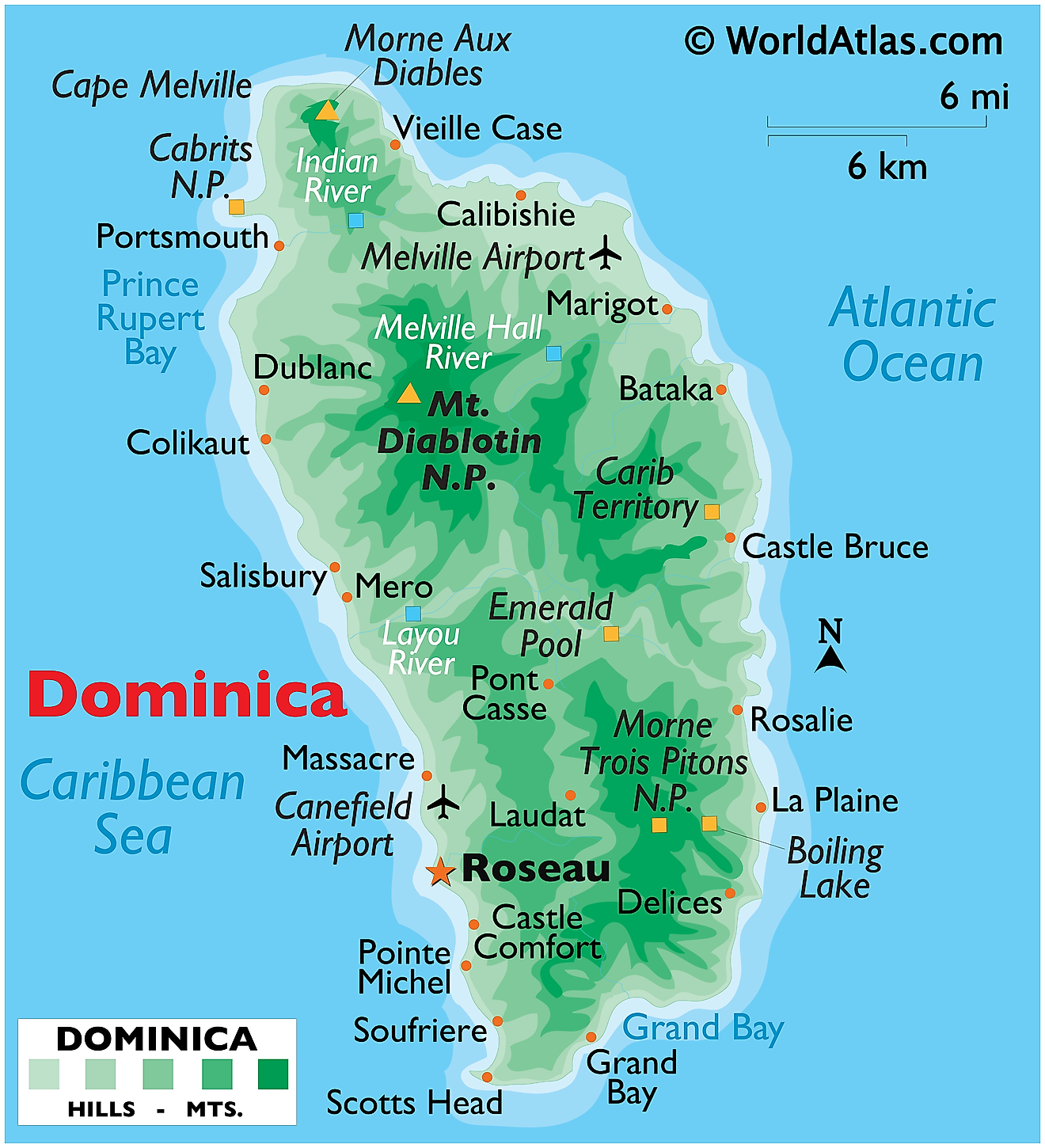
The island nation of Dominica in the Caribbean Sea, is volcanic in origin. It has a total area of 750 sq. km (290 sq mi).
As observed on the physical map of Dominica, the terrain is mostly mountainous. The landscape is also almost totally covered by rainforest. Across the island, north to south and east to west, volcanic slopes and gorges dominate the landscape.
The highest peak is Morne Diablatins at 1,447m (4,747 ft). A yellow triangle marks its position on the map.
Nine of the Caribbean's 16 active volcanoes are located on the island of Dominica. One of these is Morne aux Diables at 848m (2,826 ft), an isolated cone that forms a peninsula at the extreme northern end of the island.
Further south, Morne Trois Pitons National Park is home to three volcanic peaks. The Park's “Valley of Desolation” is an area of boiling mud ponds and small geysers. Located there, the Boiling Lake is the world’s second largest hot spring.
According to the historical records Dominica is among the Earth's most rain-drenched lands, and that water runs off forms hundreds of streams, dozens of rivers and a handful of small crater lakes.
Parishes of Dominica Map
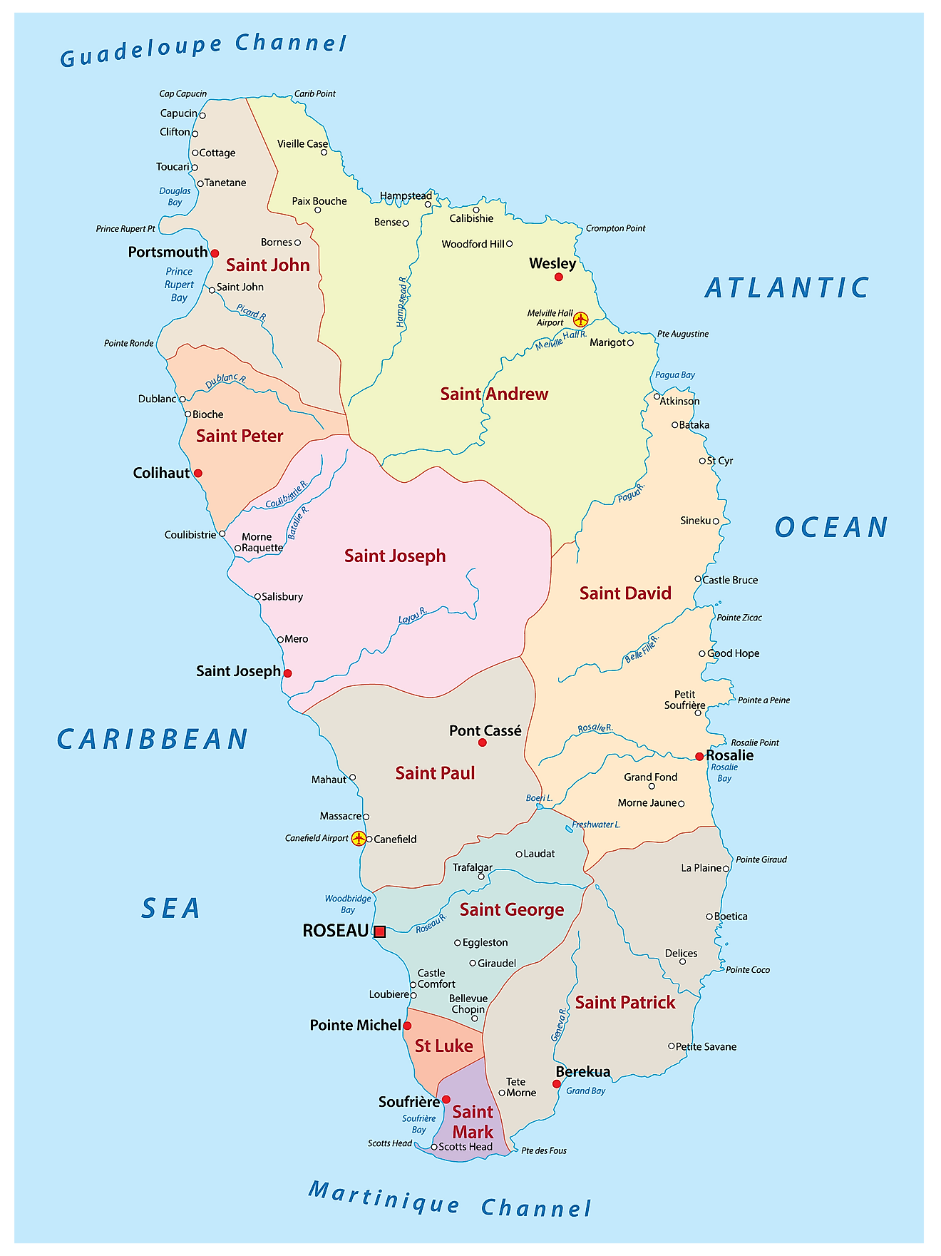
Dominica (officially, the Commonwealth of Dominica) is divided into 10 parishes. In alphabetical order, the parishes are: Saint Andrew, Saint David, Saint George, Saint John, Saint Joseph, Saint Luke, Saint Mark, Saint Patrick, Saint Paul and Saint Peter.
Located on the south western coast of the island country at the mouth of River Roseau is, Roseau – the capital, the largest and the most populous city of Dominica. It is an important port, administrative, commercial, and economic center of the country.
Where is Dominica?
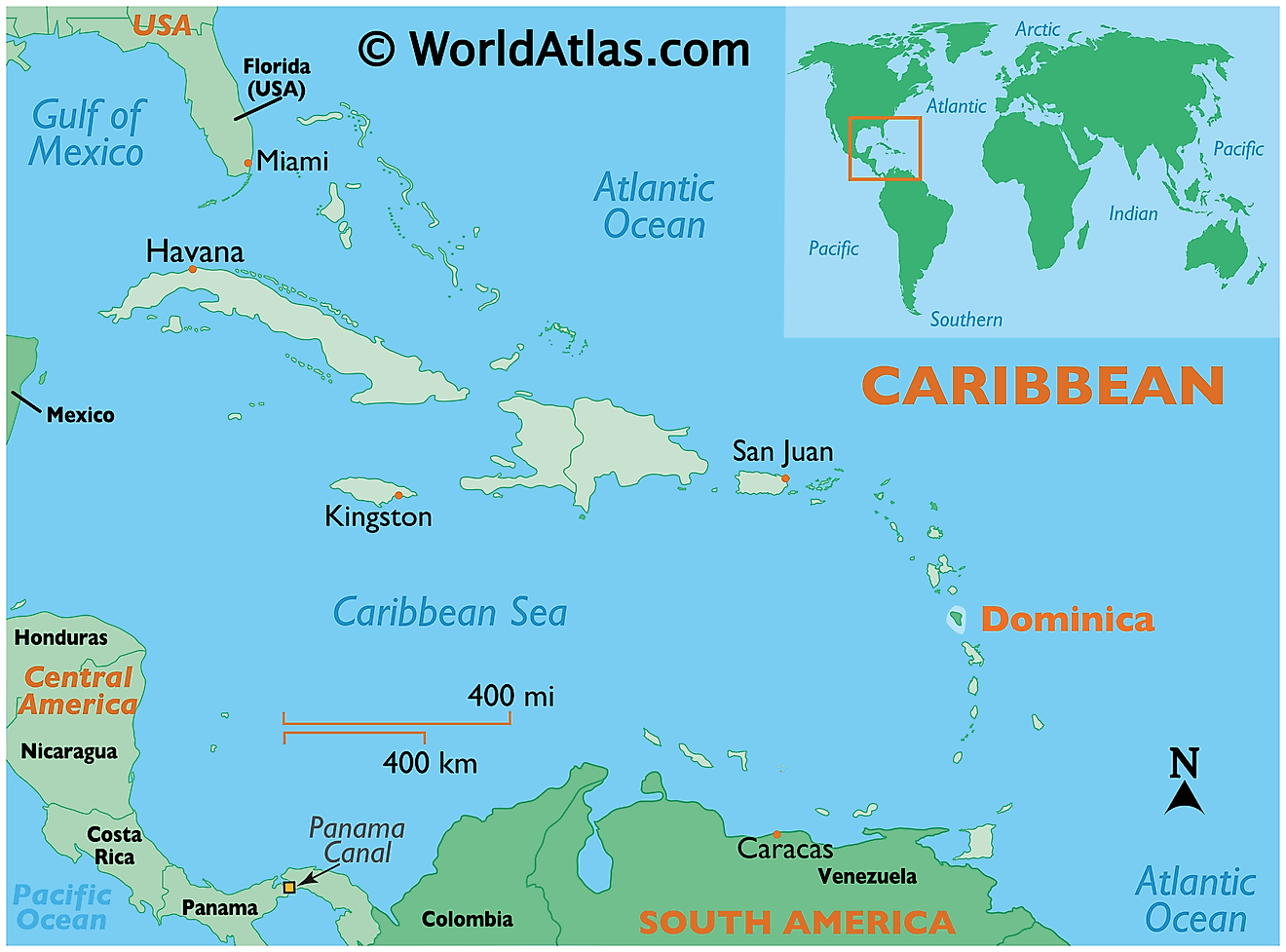
Dominica is an island nation in the Lesser Antilles Archipelago, located in the south eastern Caribbean Sea. It is positioned in the Northern and Western hemispheres of the Earth. Dominica is situated between Guadeloupe and Marie-Galante in the north and Martinique in the south.
Regional Maps: Map of North America
Outline Map of Dominica
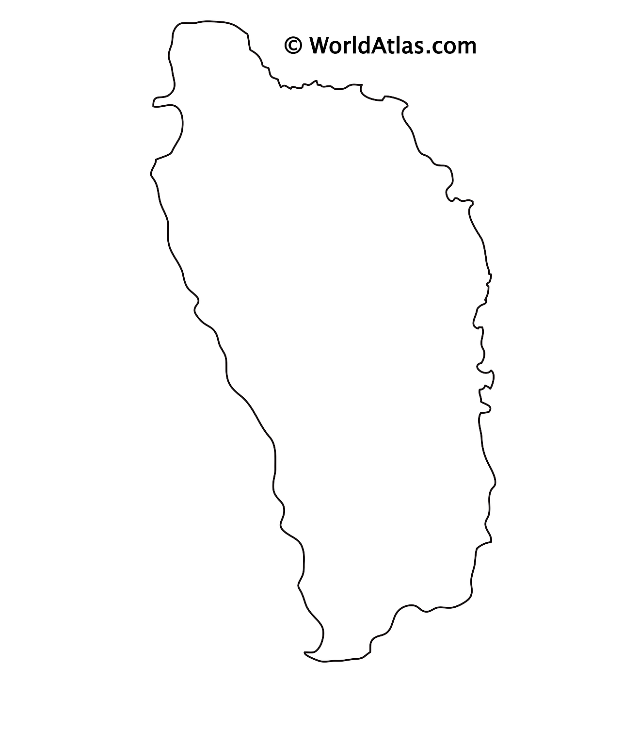
The above blank map represents Dominica, an island nation in the Caribbean Sea. The above map can be downloaded, printed and used for educational purposes.
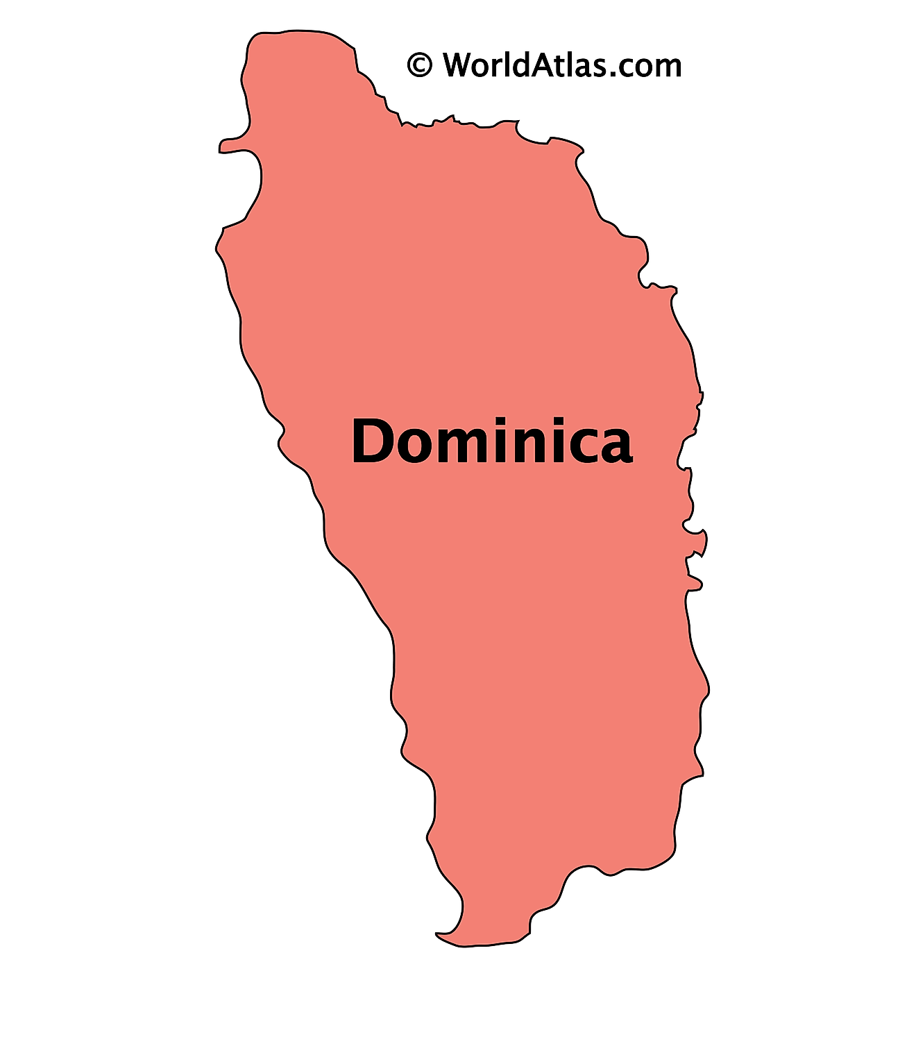
The above outline map represents the mountainous island nation of Dominica in the Caribbean Sea. Dominica is also known as “The Nature Island of the Caribbean”.
Key Facts
| Legal Name | Commonwealth of Dominica |
|---|---|
| Flag |
|
| Capital City | Roseau |
| 15 18 N, 61 24 W | |
| Total Area | 751.00 km2 |
| Land Area | 751.00 km2 |
| Water Area | N/A |
| Population | 71,808 |
| Currency | East Caribbean dollars (XCD) |
| GDP | $596.03 Million |
| GDP Per Capita | $8,300.38 |
This page was last updated on February 25, 2021

