Sardinia
The Mediterranean Sea has hundreds of islands, covering over 103,000 km2 and home to about 12 million people. The five biggest islands account for about 74% of the total area. Sicily and Sardinia, the two largest islands of the Mediterranean Sea, are two of 20 Italian regions. Sardinia is the second-largest island in the sea, spanning 24,090 km2. The island has a metropolitan city and four provinces, with Cagliari as its largest and capital city.
Contents:
Where Is Sardinia?

Sardinia is an island in the Mediterranean, located to the east of the Iberian Peninsula, west of the Italian Peninsula, and north of Africa (Tunisia). It is bounded to the north by Corsica (French island), west by the Balearic Islands (Spanish islands), and southeast by Sicily (Italian island). The Strait of Bonifacio, to the north of Sardinia, separates the island from Corsica. The island is also bounded by other seas of the Mediterranean, including the Sea of Sardinia to the west and the Tyrrhenian Sea to the east. Sardinia is approximately 350 km southwest of Rome.
Geography

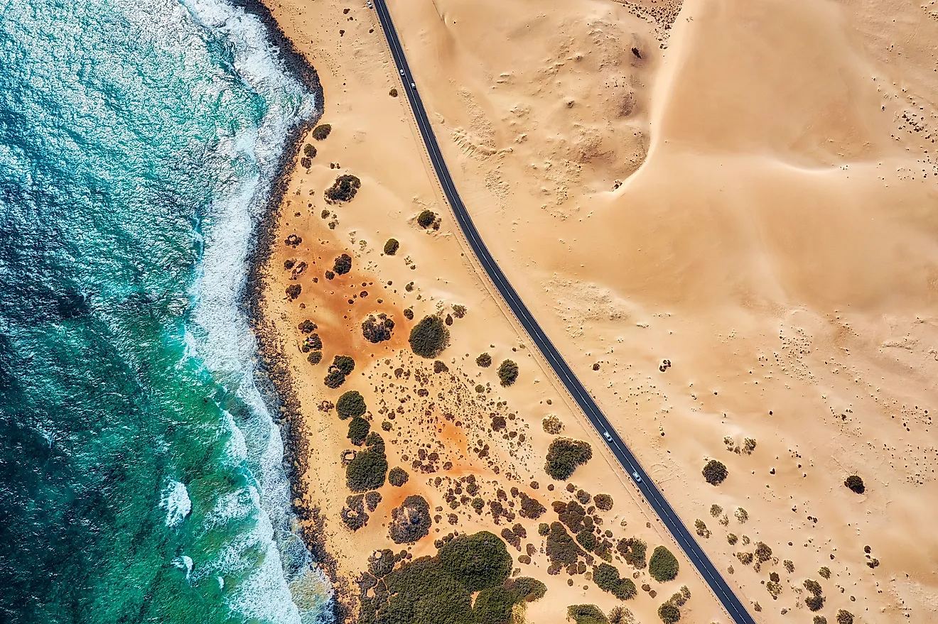
Sardinia is the Mediterranean’s second-largest island after neighboring Sicily. It is 270 km long at the longest point and 145 km wide at the widest point. Its coastline is approximately 1,849 km. The coastline is generally rocky and high, with some straight stretches, deep bays, headlands, and rias.
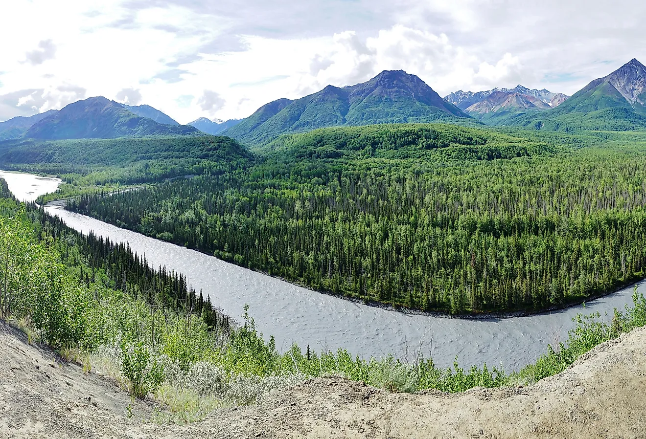
Several major and minor rivers drain Sardinia, including the 151-km long Tirso River, which originates from the island's mountainous region and empties into the Mediterranean Sea. Other major rivers include Flumendosa (127 km) and Coghinas (115 km). The region also has 54 dams and artificial lakes, including Lake Coghinas and Lake Omodeo. Lago di Baratz is the only natural freshwater lake in Sardinia.
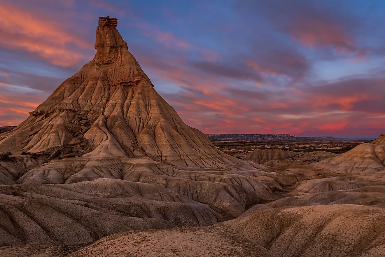
Unlike the Italian Peninsula and Sicily Island, Sardinia is not prone to earthquakes. Most of the highland areas formed due to the erosion process on schist, granite, ballast, sandstone, trachyte, and dolomite. The island’s highest point is Punta La Marmora at 1,834 m. It is part of the Gennargentu Range that runs through the center of the island. Other high peaks are Monte Limbara, Monte Linas, and Marghine and Goceano.
Climate
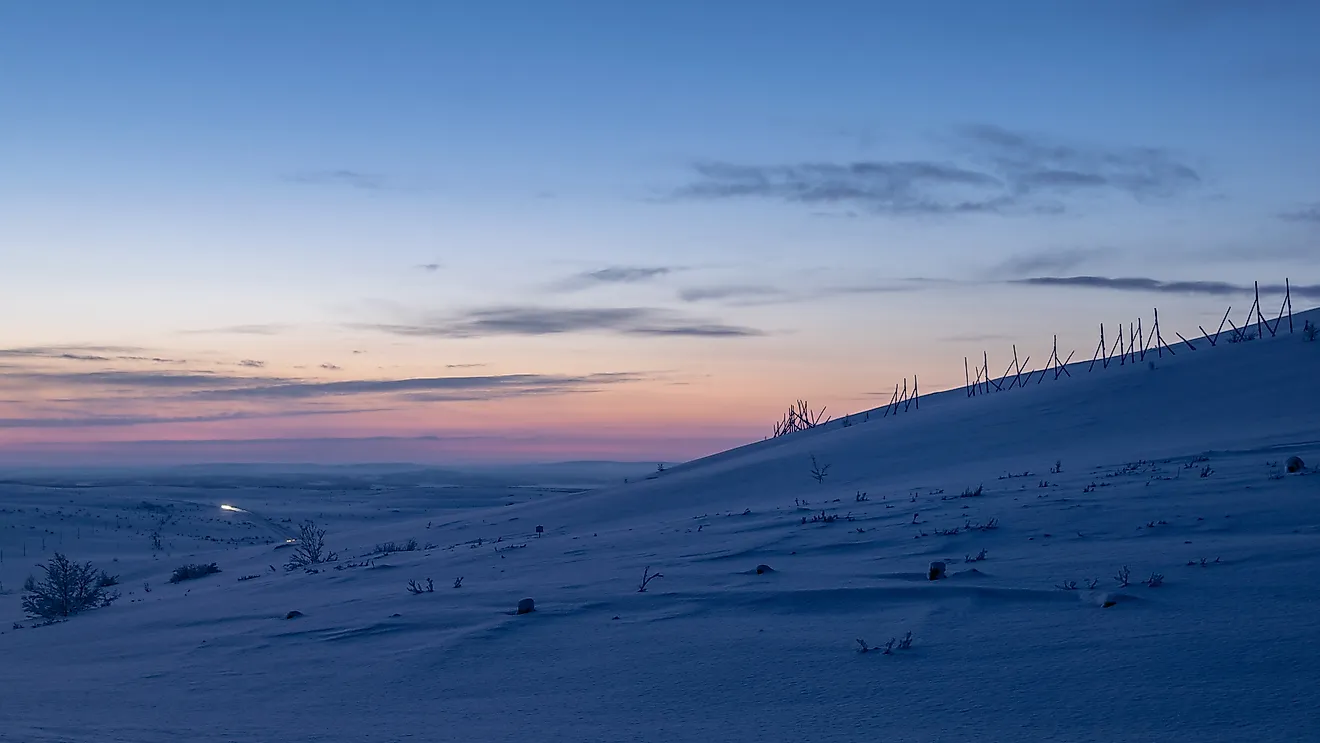
The island has a variable climate due to several factors, including elevation and latitude extension. The two climates of Sardinia are temperate oceanic and Mediterranean oceanic. The region receives more rainfall in winter and autumn, with the highland areas also receiving heavy showers in spring. The temperature on the coast generally ranges from 8-11 °C (48-52 °F) in January and 22-26 °C (73-79 °F) in July and average highs can go up to 30 °C (86 °F). Mountain temperature ranges between −2 °C (28 °F) in January and 20 °C (68 °F) in July.
Sardinia is often dry with almost no rain during the summer season, while the other three seasons are generally wet. But, short rains and severe thunderstorms can be experienced in summer. Cagliari receives an average rainfall of 428 mm per year, while Fonni, at a higher altitude, receives 919 mm annually.
Brief History

Sardinia is an ancient landmass that has been characterized by various immigration waves since prehistory. The island was first inhabited by settlers from Continental Europe during the Paleolithic period. Several cultures, especially from Italy, came onto the island between the 6th and 3rd millennium BCE. From around 1500 BCE, villages were constructed around nuraghes (fortress tower). These nuraghes provided protection and often reinforced during battles. Today, there are about 7,000 nuraghes spread across the island.
Phoenician influence on Sardinia began in the 9th century BCE. They first started by seeking overnight shelters on the island and later established trade routes through the island. Parts of the island fell under Carthaginian rule in 510 BCE. In 238 BCE, the Romans annexed the island, alongside Corsica, from the Carthaginians and established the province of Sardinia and Corsica. After a brief period of ruling by the Vandals from 456 to 534 AD, Roman troops recaptured the island and held it until the fall of the Roman Empire and the subsequent rise of the Byzantine Empire.
Sardinia remained part of Byzantine for 300 years, but how it came to be independent of the empire is not known. During its period of independence, Arab incursions onto the island further influenced Sardinia's culture. The period that followed, from the late 13th century until the early 18th century, the island was mainly under Aragonese control, which joined with the Spanish monarchy during that time. After becoming part of Austria following the War of Spanish Succession, Sardinia switched hands again into the control of the Savoys, which is when Italianization began on the island. In 1861 under the new King Victor Emmanuel II, the territories of Italy as it is known today began a unification process, forming the unified Kingdom of Italy.
Human Settlement

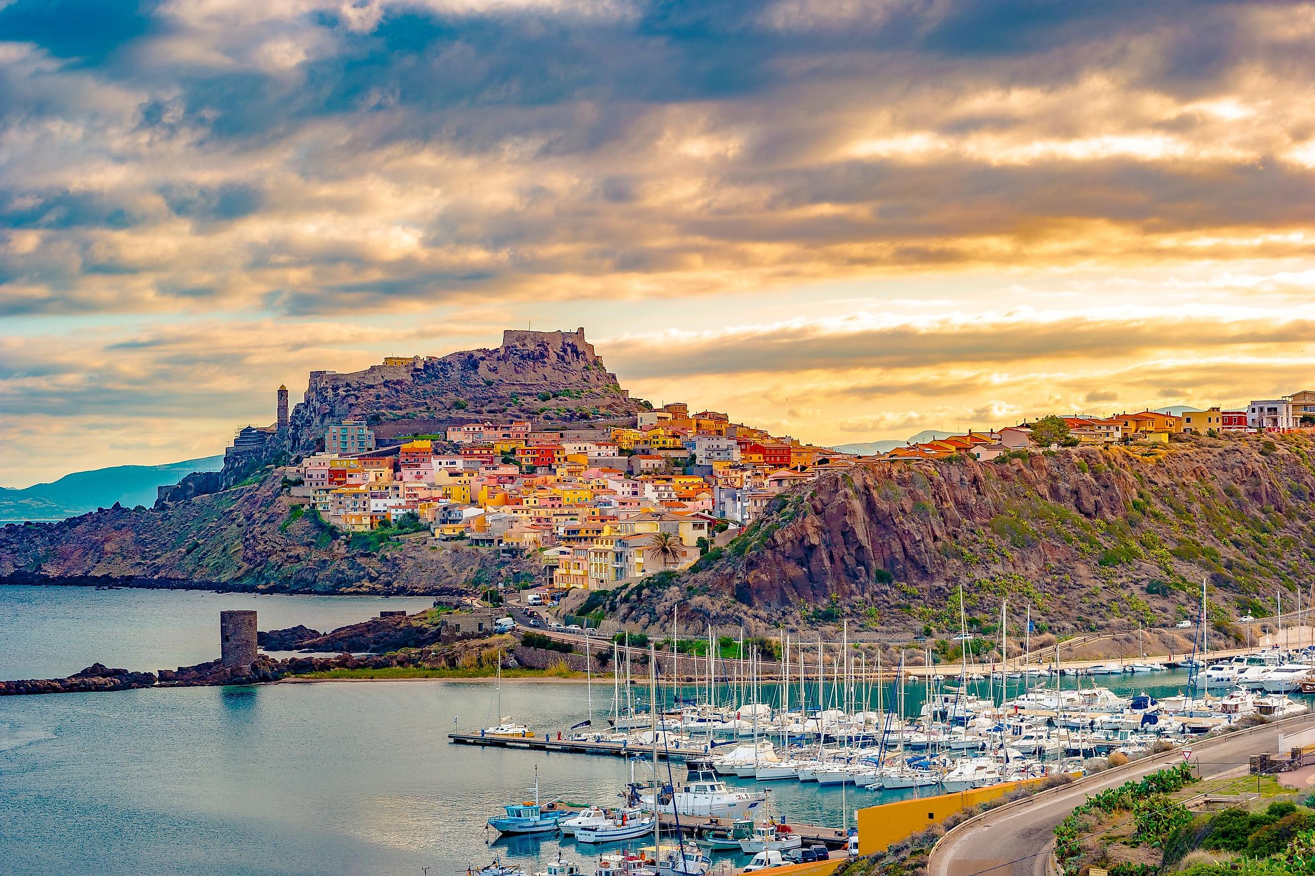
Sardinia has an estimated population of 1.6 million and a population density of 70 people per km2. The island is Italy’s 11th-most populated region. The population is concentrated in the fortified cities of Alghero, Cagliari, and Castelsardo, and the subcoastal areas towards the island’s center.
Cagliari is the capital and largest city in Sardinia, with more than 430,000 residents in its greater metropolitan area. Sassari is the second-largest city, with about 127,500 people. Other significant human settlements are Quartu Sant'Elena, Olbia, Nuoro, and Oristano. Over 50,000 people (3% of the total population) living on the island are foreign nationals, mainly from Romania, Senegal, Morocco, and China.
Sardinia is an autonomous region of Italy, meaning that it enjoys some degree of autonomy administratively. Its administration comprises three authorities: the president, Regional Council, and Regional Junta. The island is divided into four provinces: Nuoro, Sassari, Oristano, and South Sardinia. Cagliari is a metropolitan city that is independent of the provinces.
Economy

Sardinia has one of the best economies among the 20 Italian Regions, particularly among those south of Rome. It had a nominal GDP of €33.4 billion and a per capita GDP of €19,900 in 2014. Its per capita income is the highest in the whole of Italy’s southern half. However, high electricity and transportation cost have constrained the economy. Electricity cost is twice higher than Italian peninsula regions.
Sardinia’s main economic drivers are agriculture, commerce, construction, financial, and service industries. The island is home to 4 million sheep, promoting the textile industry on the Italian Peninsula. Sardinia has a rich arable land, suitable for wheat, vegetable, and other cereal farming.
Although the mining industry was once prosperous in Sardinia, it is now restricted to gold, coal, zinc, lead, and antimony. Granite extraction is a flourishing industry on the island, with the Gallura granite district accounting for 75% of Italy’s extracted granite. Other major industries include pharmaceutical, cement, shipbuilding, petrochemical, and metalworking.
Sardinia’s transportation network comprises three airports, dozens of seaports, a railway system, and roads. The airports are the primary connections between the island and other Italian and European cities. Numerous ferry companies also operate on the island.