Maps of Hungary
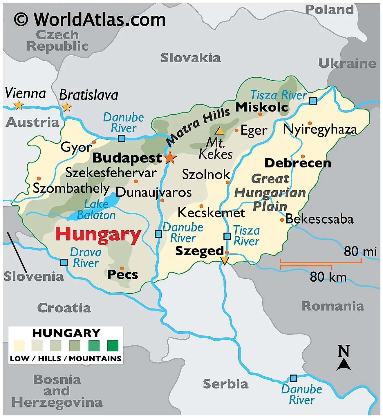
Hungary is a medium-sized, landlocked Central European country covering an area of 93,030 km2(35,920 sq mi).
As observed on the physical map of Hungary, it is mostly a flat country, dominated by the Great Hungarian Plain east of the Danube. The plain includes approximately 56% of the country's land. The terrain ranges from flat to rolling plains.
The land rises into hills and some low mountains in the north along the Slovakian border. The highest point, located in the Matra Hills, is Mt Kekes at 3,330 ft. (1,015m). A yellow upright triangle marks the position of this highest point on the map.
The lowest spot (marked by a yellow inverted triangle) is 77.6 m above sea level, located along the Tisza River in the south of Hungary, near Szeged.The Danube is the major river, as it divides the country almost in half, and is navigable within Hungary for 418 km. Additional rivers of note include the Drava and Tisza.Hungary has three major lakes. Lake Balaton, the largest at 78 km long and from 3 to 14 km wide, has an area of 592 sq km. As seen on the map, it is located in the west-central part of the country. It's central Europe's largest freshwater lake.
Counties of Hungary Map
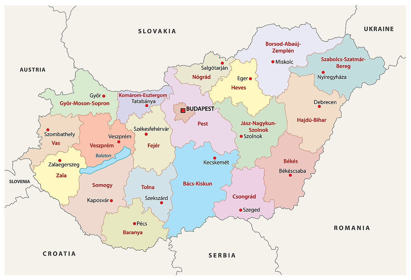
Hungary is administratively divided into 19 counties (megyek, singular - megye) and 1 capital city (fovaros). In alphabetical order, the counties are:Bacs-Kiskun, Baranya, Bekes, Borsod-Abauj-Zemplen, Csongrad, Fejer, Gyor-Moson-Sopron, Hajdu-Bihar, Heves, Jasz-Nagykun-Szolnok, Komarom-Esztergom, Nograd, Pest, Somogy, Szabolcs-Szatmar-Bereg, Tolna, Vas, Veszprem and Zala. Budapest is the capital city. There are also 23 cities with county rights, which are called ‘urban counties’(megyei jogu varosok, singular - megyei jogu varos). In alphabetical order, these are: Bekescsaba, Debrecen, Dunaujvaros, Eger, Erd, Gyor, Hodmezovasarhely, Kaposvar, Kecskemet, Miskolc, Nagykanizsa, Nyiregyhaza, Pecs, Salgotarjan, Sopron, Szeged, Szekesfehervar, Szekszard, Szolnok, Szombathely, Tatabanya, Veszprem and Zalaegerszeg.
The counties are subdivided into 174 districts while the capital city has 23 districts.
With an area of 93,030 sq. km, Hungary is a medium-sized member state of EU. Located at the center of the Carpathian Basin, on both the banks of the Danube River, Budapest is the capital, the largest and the most populous city of Hungary. It is the country’s major administrative, industrial and economic center.
Where is Hungary?
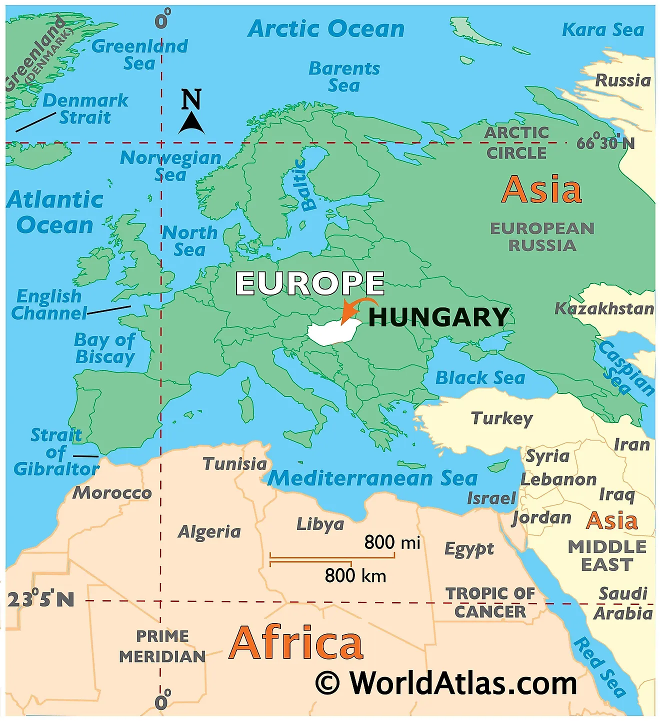
Hungary is a landlocked Central European Nation, situated in the Carpathian Basin. It is geographically positioned both in the Northern and Eastern hemispheres of the Earth. It is bordered by 7 Nations: by Slovakia in the north; Ukraine in the northeast; Romania in the east; Serbia and Croatia in the south; Slovenia in the southwest and Austria in the west.
Hungary Bordering Countries: Ukraine, Romania, Serbia, Slovakia, Austria, Croatia, Slovenia.
Regional Maps: Map of Europe
Outline Map of Hungary
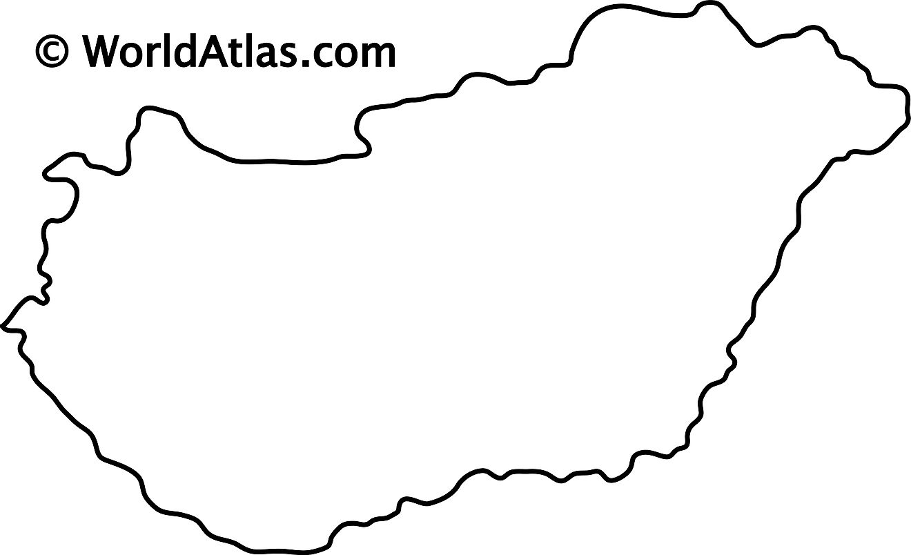
The blank outline map represents the territory of the sovereign landlocked nation of Hungary in Central Europe. The map can be downloaded, printed, and used for coloring or map-pointing activities.
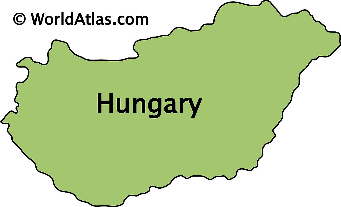
The outline map above is of Hungary, a landlocked country in Central Europe and a middle power in global affairs.
Key Facts
| Legal Name | Hungary |
|---|---|
| Flag |
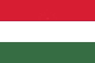
|
| Capital City | Budapest |
| 47 30 N, 19 05 E | |
| Total Area | 93,028.00 km2 |
| Land Area | 89,608.00 km2 |
| Water Area | 3,420.00 km2 |
| Population | 9,769,949 |
| Largest City |
Budapest (1,778,052) |
| Currency | Forints (HUF) |
| GDP | $160.97 Billion |
| GDP Per Capita | $16,475.74 |
This page was last updated on February 25, 2021


