Maps of Tajikistan
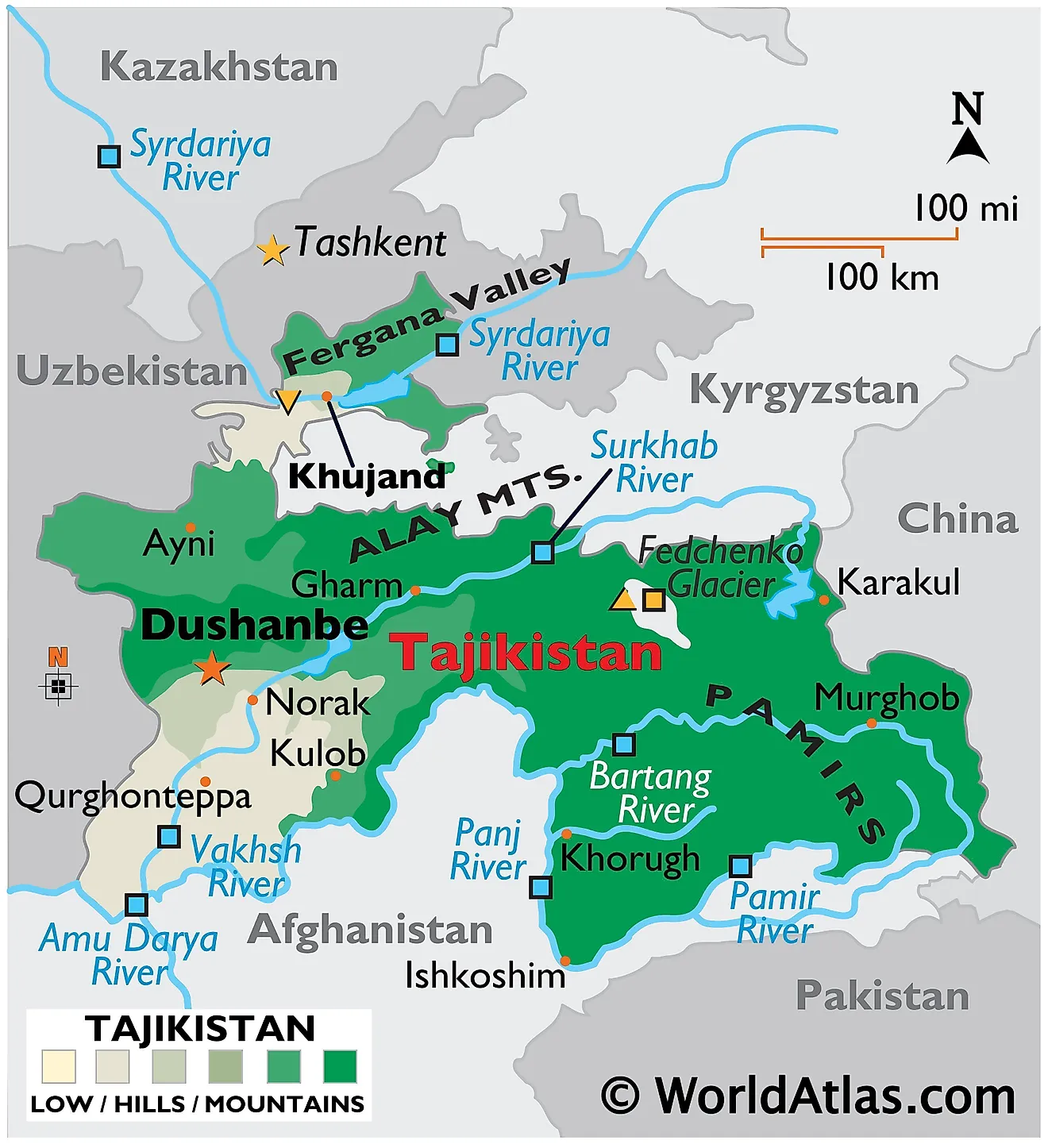
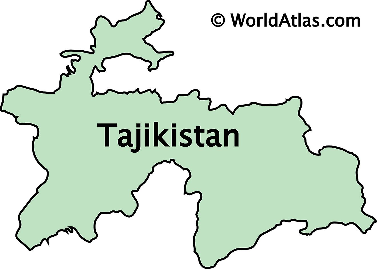
Tajikistan, a landlocked Central Asian country occupies an area of 143,100 sq. km. It is the region's smallest nation.
As observed on the physical map of Tajikistan above, almost the entire country (around 93%) is mountainous. In fact, more than half of the country is higher than 3,000 m, (9,842 ft.) in elevation.
The map also shows the two most dominant mountain ranges in the country, the Alay Range in the north and the Pamir Mountains to the southeast.
Tajikistan's highest point is Qullai Ismoili Somoni, and peaks at 24,589 ft. (7,495 m).
The numerous mountain chains are etched with deep valleys formed by a dense maze of cold-water rivers. The eastern mountains contain many glaciers and lakes. The Fedchenko Glacier (surrounding the country's highest peaks and marked on the map) covers 700 sq. km, and is the largest non-polar glacier in the world
The lowest elevations are in the northwest, southwest, and in the Fergana Valley, which dominates Tajikistan's far northern section.
The country's extensive mountain system spawns many rivers, with the most significant being the Syr Darya, Amu Darya (called the Panj in central Tajikistan), Vakhsh (called the Surkhob in northern Tajikistan), Panj, Pamir, and Bartang.
Provinces of Tajikistan Map
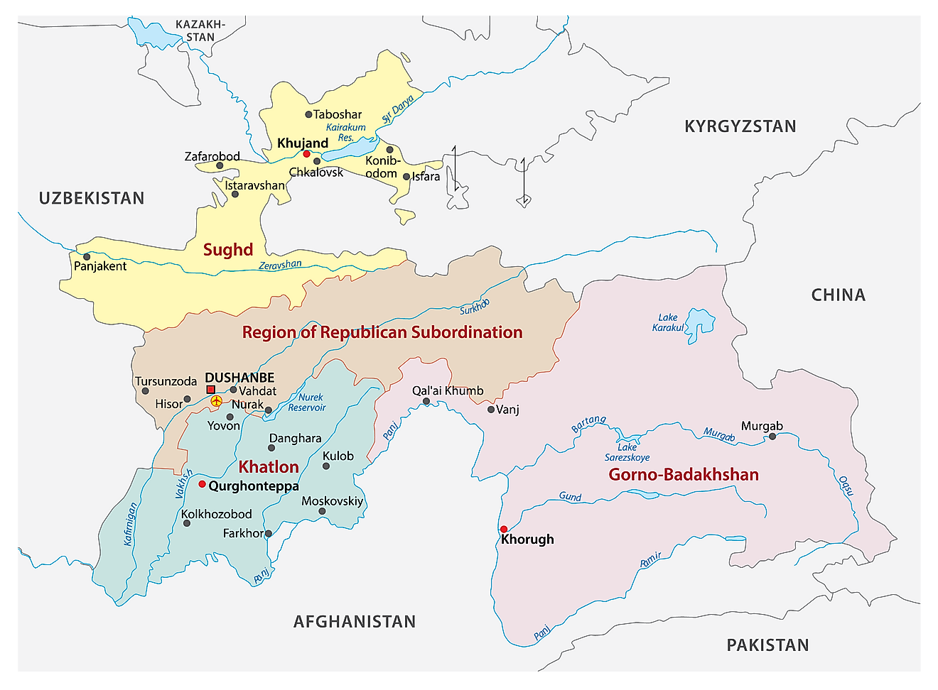
Tajikistan (officially, Republic of Tajikistan) is a sovereign country and is divided into 4 administrative regions or provinces. These regions are: the province of Sughd, the province of Khatlon, the Gorno-Badakhshan Autonomous province (GBAO) and the Region of Republican Subordination (formerly, Karotegin province). These provinces are divided into 58 districts which are further subdivided into 367 jamoats.
Dushanbe is the capital and the largest city of Tajikistan. It is located on the southern slopes above the Kofarnihon valley.
Where is Tajikistan?
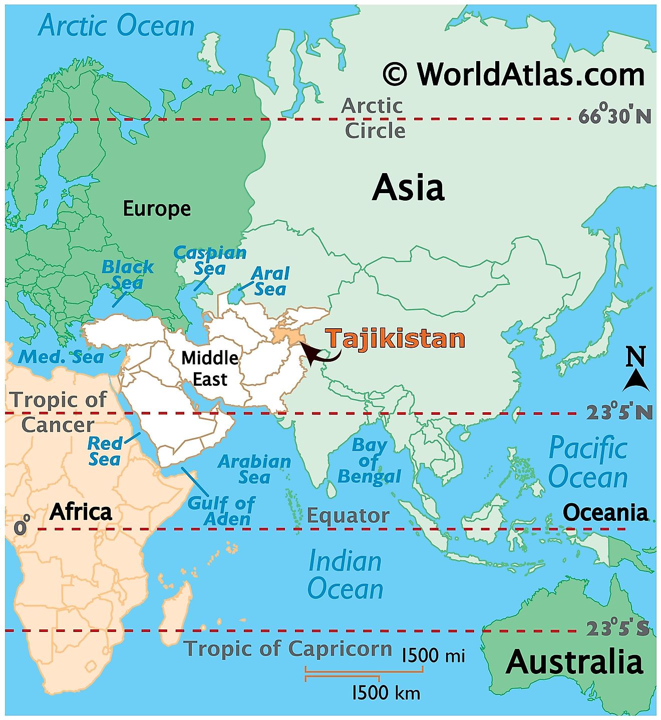
As observed on the location map above, Tajikistan is a landlocked country in the heart of Central Asia. This highly mountainous country is located in the Northern and Eastern Hemispheres of the Earth. Four countries border Tajikistan. These are Kyrgyzstan, Uzbekistan, China, and Afghanistan to the north, west, east, and south respectively.
Tajikistan Bordering Countries: China, Afghanistan, Kyrgyzstan, Uzbekistan.
Regional Maps: Map of Asia
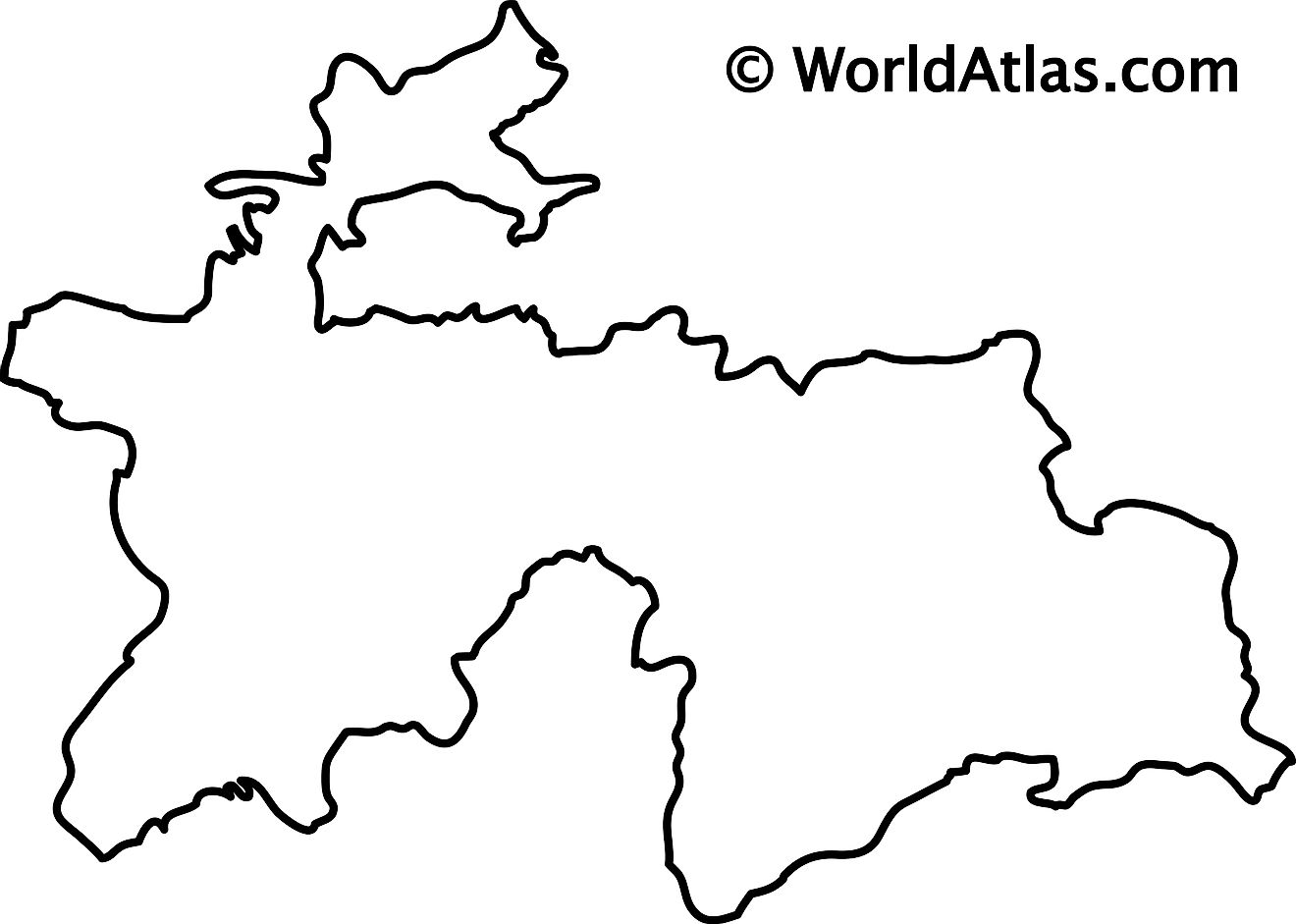
Outline Map of Tajikistan
Key Facts
| Legal Name | Republic of Tajikistan |
|---|---|
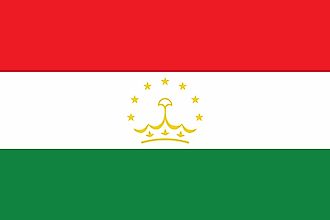
| Flag |
|
| Capital City | Dushanbe |
| 38 33 N, 68 46 E | |
| Total Area | 144,100.00 km2 |
| Land Area | 141,510.00 km2 |
| Water Area | 2,590.00 km2 |
| Population | 9,321,018 |
| Largest City |
Dushanbe (986,899) |
| Currency | Tajikistani somoni (TJS) |
| GDP | $8.12 Billion |
| GDP Per Capita | $870.79 |
This page was last updated on February 24, 2021
