Maps of Palestine
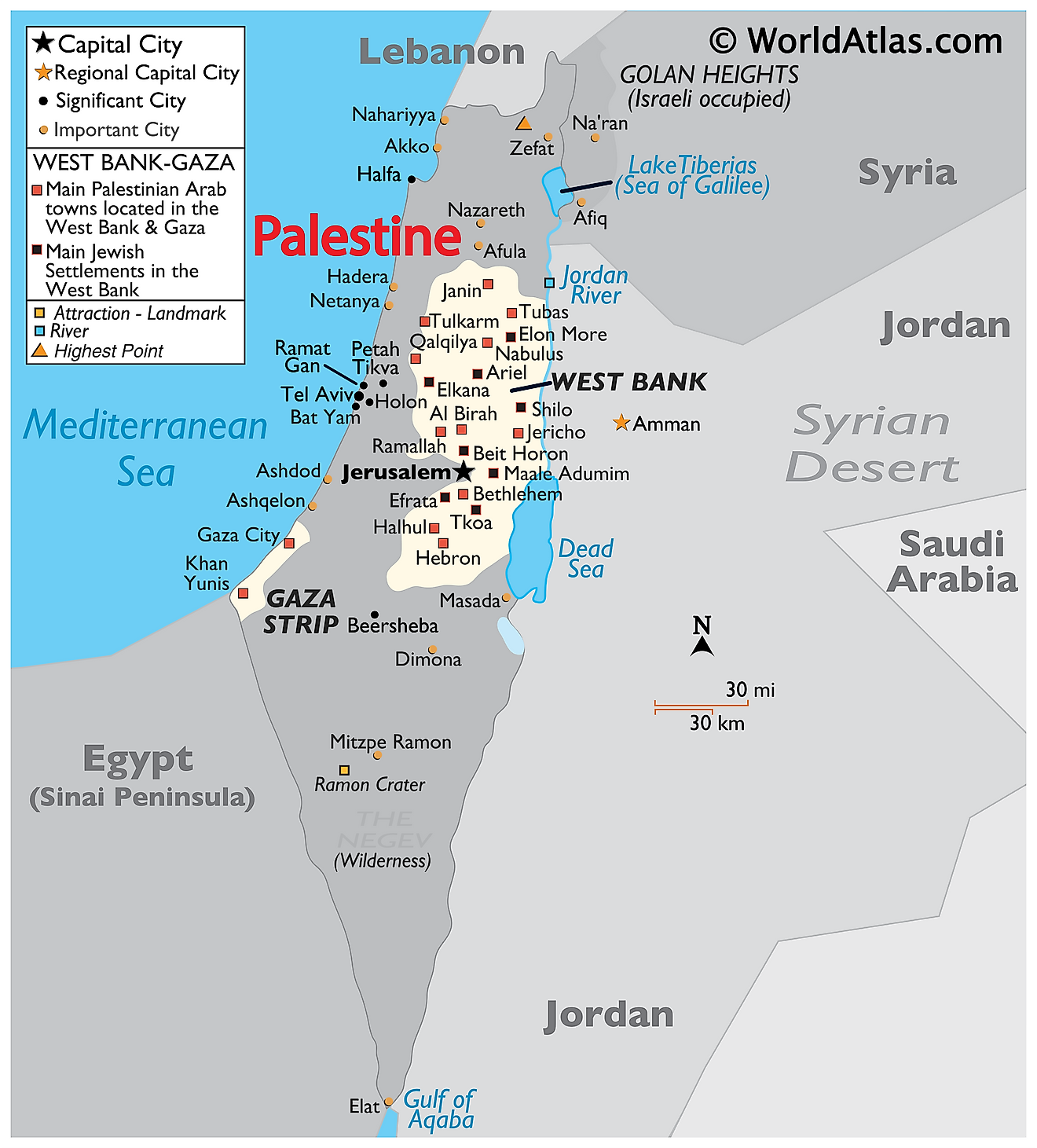
Covering an area of 6,020 sq. km, the State of Palestine is a de jure sovereign state, rather than an official nation in the classical sense. Currently the "State of Palestine" is officially recognized by the United Nations as a Non-Member Observer State, a status granted on November 29. 2012. Located in Western Asia, the Palestinian territories are made up of the areas known as Gaza and the West Bank. Both of which are ruled over and controlled by different governments. Both the Palestinian territories share a similar climate however, this is where the similarities end. Gaza is almost entirely urban whereas the West Bank is considerably more rural and is made up of smaller farming villages and towns.
The Jordan River is the most significant geographical feature in Palestine. The river runs north to south from the Sea of Galilee to the Dead Sea. Several streams, called wadis in Arabic, flow into the river as well. Some of these wadis even flow through Isreal and into the Mediterranean Sea as well.
Rugged upland make up the majority of the West Bank. The tallest point in Palestine can be found within the West Bank at Mount Nabi Yunis at an elevation of 3,379ft (1,030m). The lowest point is at the Dead Sea, at (-412m) (-1,352ft). Gaza's geography is dominated by flat rolling sand dunes that end along the Mediterranean coast.
The climate in both Gaza and the West Bank can be roughly described as Mediterranean with Gaza being slightly hotter and drier than those in the West Bank. The eastern border with Jordan also tends to be hotter than average and experiences a considerably less amount of rainfall throughout the year.
Political Map of Palestine
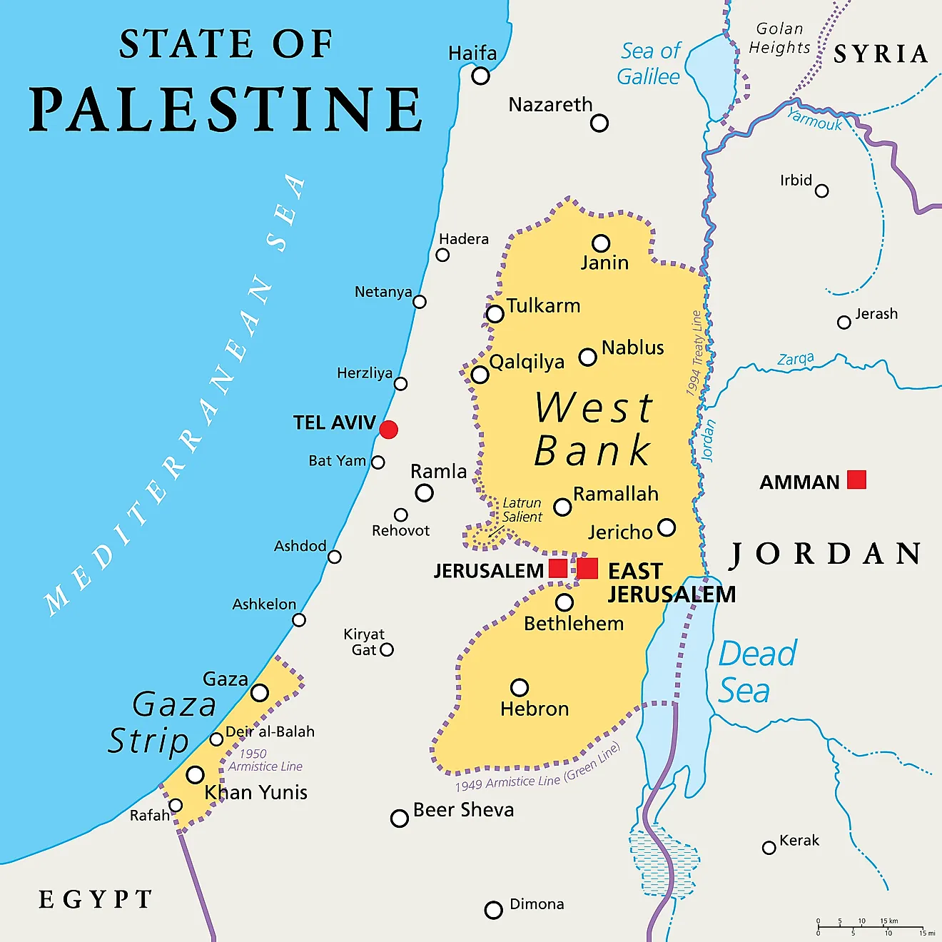
Covering an area of 6,020 sq. km, the State of Palestine is a de jure sovereign state, located in Western Asia and comprising of the territories of the West Bank and Gaza Strip. Located to the north of Jerusalem, in the central part of the West Bank is the city of Ramallah – the current administrative center of Palestine.
Palestine (officially, The State of Palestine) is divided into sixteen administrative divisions. In alphabetical order, these divisions are Bethlehem, Deir Al-Balah, Gaza, Hebron, Jenin, Jericho & Al Aghwar, Jerusalem, Khan Yunis, Nablus, North Gaza, Qalqiliya, Rafah, Ramallah & Al-Bireh, Salfit, Tubas, and Tulkarm.
Where is Palestine?
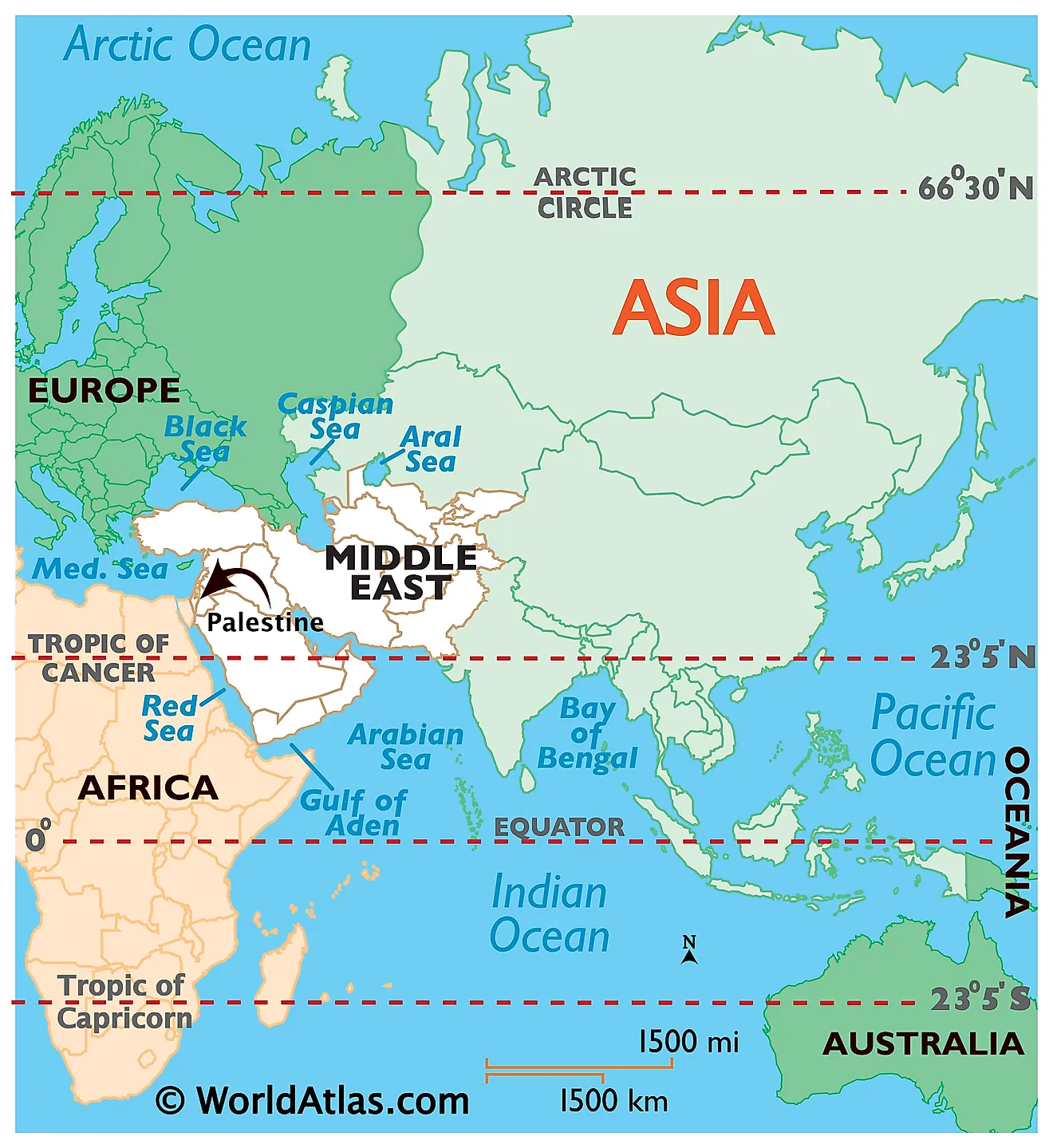
The State of Palestine is a de jure sovereign state, located in Western Asia and comprising of the territories of the West Bank and Gaza Strip. It is geographically positioned both in the Northern and Eastern hemispheres of the Earth. The Gaza Strip is bordered by the Mediterranean Sea to the west; by Egypt on the southwest and by Israel on the east and north. The West Bank is bordered by Israel in the north, south, and west; and by Jordan and the Dead Sea in the east.
Palestine Bordering Countries: Egypt, Israel, Jordan.
Regional Maps: Map of Asia
Key Facts
| Legal Name | Gaza Strip |
|---|---|
| Flag |
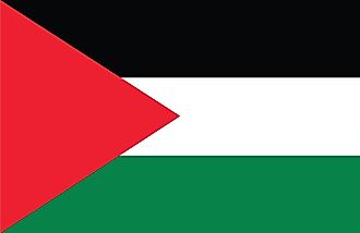
|
| Total Area | 360.00 km2 |
| Land Area | 360.00 km2 |
| Water Area | N/A |
| Population | 4,685,306 |
| Largest City |
Gaza (incl. Ash Shati Camp) (778,187) |
| Currency | <p>see entry for the West Bank</p> |
| GDP | $14.62 Billion |
| GDP Per Capita | $3,198.87 |
This page was last updated on December 19, 2023

