Maps of Iran
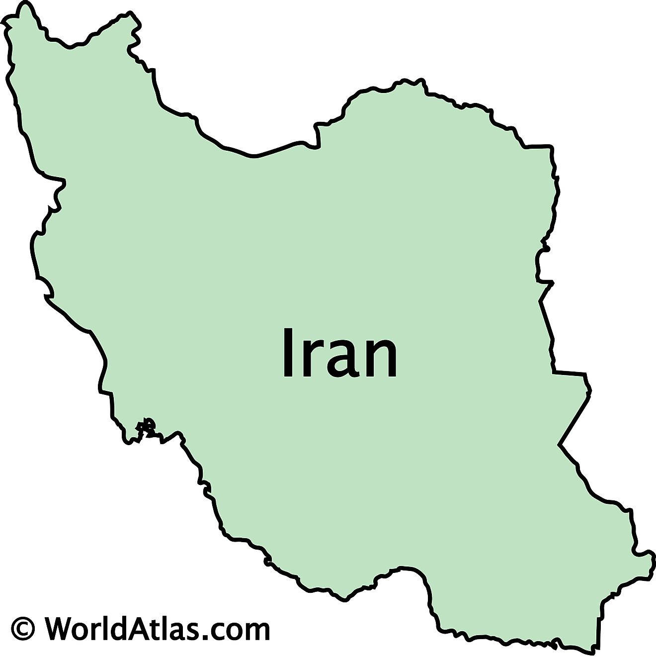
Iran is a sovereign nation occupying an area of 1,648,195 sq. km in Western Asia.
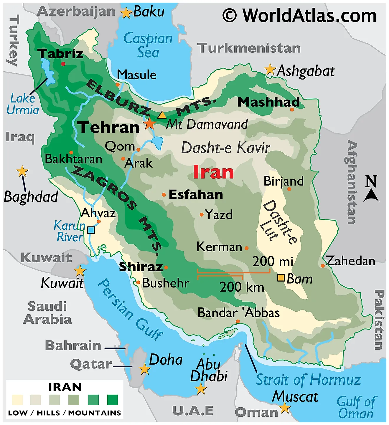
Iran is a very rugged country of plateaus and mountains with most of the land being above 1,500 feet (460 m). The mountain ranges surround the high interior basin of the country. Of note are the Elburz Mountains in the north, and the Zagros Mountains along Iran's western borders as observed on the physical map of Iran above. Iran's highest point, Mt. Damavand reaches 18,934 ft (5,771m). It has been marked on the map by a yellow triangle and is part of the Elburz Mountain chain.
The central and eastern portion is covered by the Plateau of Iran. Marked on the map, the Dasht-e Kavir is sandstone and salty desert plateau, which in the heat of summer is one of the hottest places on the planet.
The coastal areas outside the mountain rings have some of the lowest elevations in the country.
The most significant river is the Karun, in the southwestern corner of the country. Lake Urmia (in the far-northwest) is the country's largest body of water.
Provinces of Iran Map
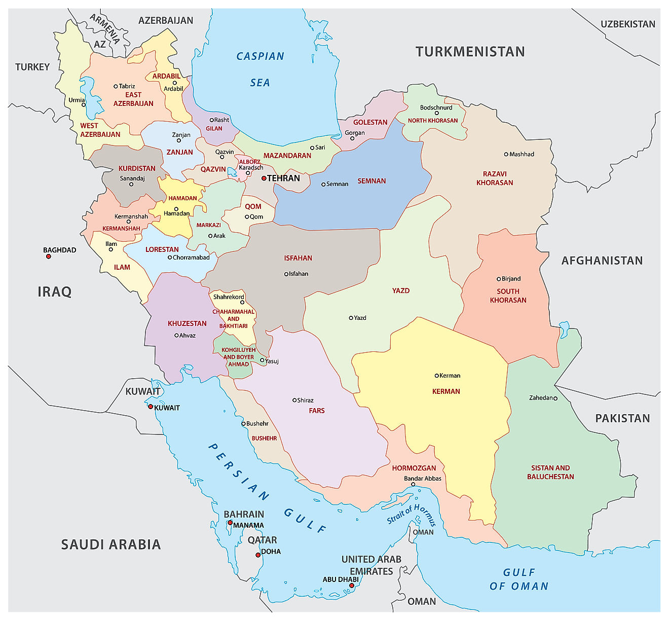
Iran (officially, Islamic Republic of Iran) is divided into 31 administrative provinces (ostanha, sing. ostan). In alphabetical order, these provinces are: Alborz, Ardabil, Azarbayjan – e Gharbi (West Azerbaijan), Azarbayjan –e Sharqi (East Azerbaijan), Bushehr, Chahar Mahal va Bakhtiari, Esfahan, Fars, Gilan, Golestan, Hamadan, Hormozgan, Ilam, Kerman, Kermanshah, Khorasan-e Jonubi (South Khorasan), Khorasan-e Razavi (Razavi Khorasan), Khorasan-e Shomali (North Khorasan), Khuzestan, Kohgiluyeh va Bowyer Ahmad, Kordestan, Lorestan, Markazi, Mazandaran, Qazvin, Qom, Semnan, Sistan va Baluchestan, Tehran, Yard and Zanjan.
With an area of 1,648,195 sq. km, Iran is the 2nd largest country in the Middle East and the 17th largest country in the world. Tehran is the capital and the largest city of Iran. It is also the most populous city in Western Asia as well as the country’s leading cultural and economic center.
Where is Iran?
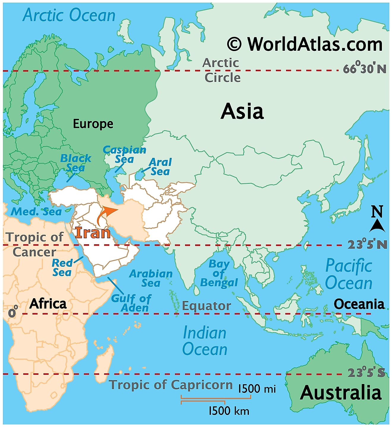
Iran is a mountainous country in Western Asia. Iran is situated both in the Northern and Eastern hemispheres of the Earth. Iran is bordered by Armenia and Azerbaijan in the northwest; Turkmenistan in the northeast; Afghanistan and Pakistan in the east; Iraq and Turkey in the west. Iran is bounded by the Caspian Sea in the north, and by the Persian Gulf and Gulf of Oman in the south.
Iran Bordering Countries: Iraq, Turkey, Armenia, Azerbaijan, Turkmenistan, Afghanistan, Pakistan.
Regional Maps: Map of Asia
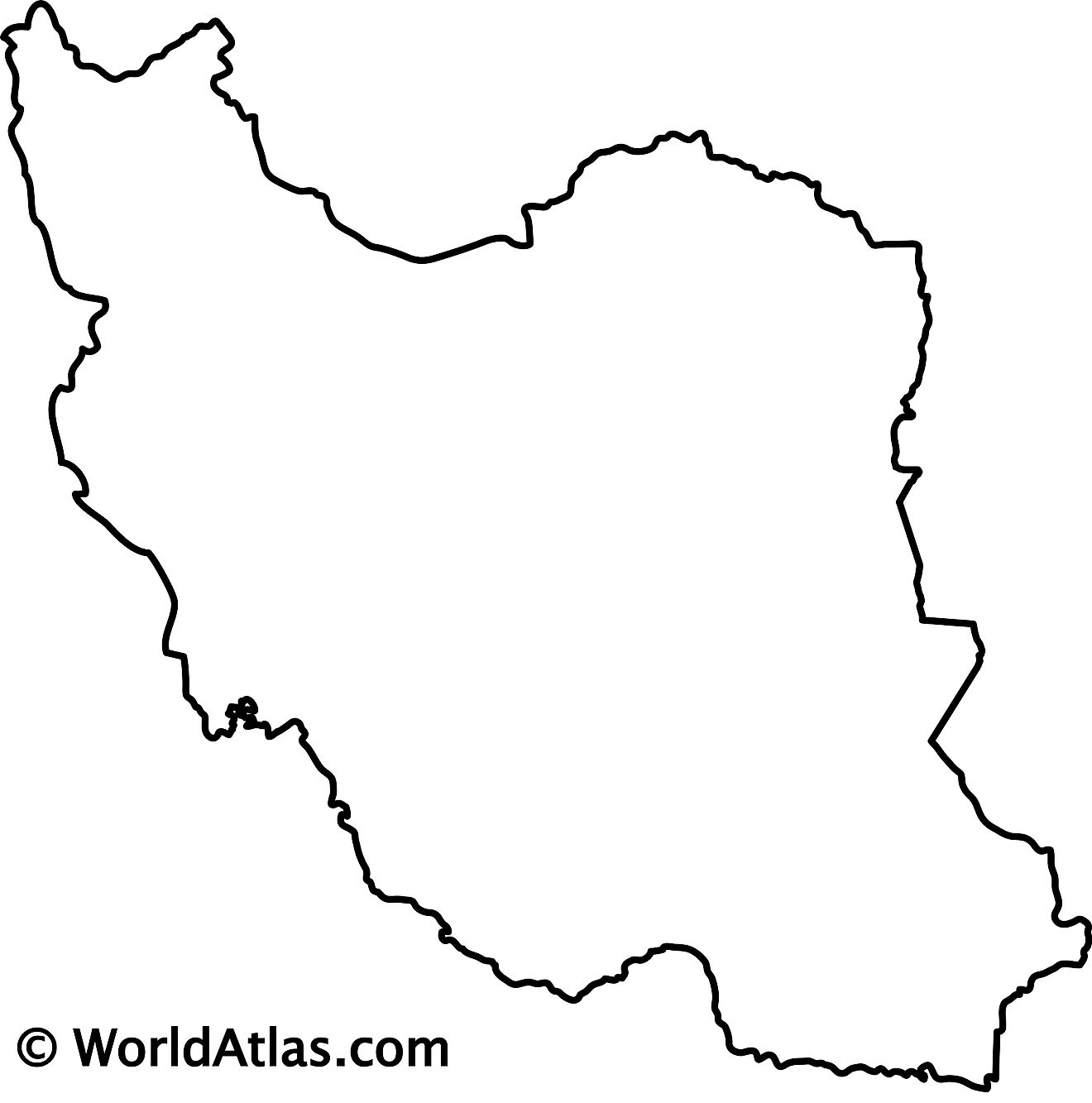
Outline Map of Iran
Key Facts
| Legal Name | Islamic Republic of Iran |
|---|---|
| Flag |
|
| Capital City | Tehran |
| 35 42 N, 51 25 E | |
| Total Area | 1,648,195.00 km2 |
| Land Area | 1,531,595.00 km2 |
| Water Area | 116,600.00 km2 |
| Population | 82,913,906 |
| Major Cities |
|
| Currency | Iranian rials (IRR) |
| GDP | $445.35 Billion |
| GDP Per Capita | $5,520.31 |
This page was last updated on February 24, 2021
