Maps of Timor-Leste
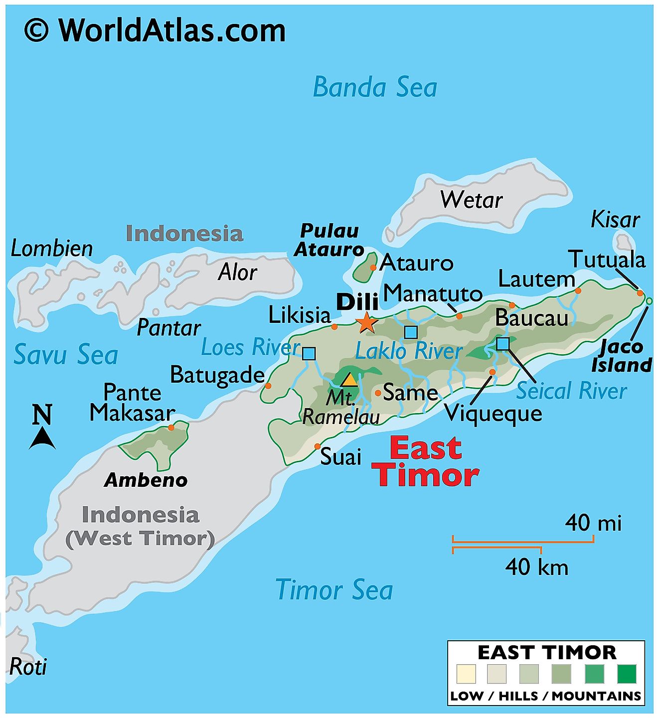
Sharing the island of Timor with West Timor of Indonesia, Timor-Leste, also called East Timor, is a sovereign nation with a total area of about 15,007 sq. km. As shown on the physical map of the country above, East Timor also includes several islands like Atauro and Jaco. It also has an enclave of Ambeno on the northwestern coast of the Timor island.
The terrain is mostly mountainous. The country is surrounded by a flat plain that rises abruptly into the foothills of the rugged mountains that run through its heart.
The loftiest peaks are found in the Ramelau Range, where the country's highest point, Foho Tatamailau, is located at 2,963 m. An upright triangle marks the position of this highest point on the map.
Meandering rivers have formed deep gorges through the mountains. The most significant rivers are the Lakla, Lies and Seical. Their courses can be seen on the map. In addition, dozens of smaller rivers drain the land.
Municipalities of Timor Leste Map
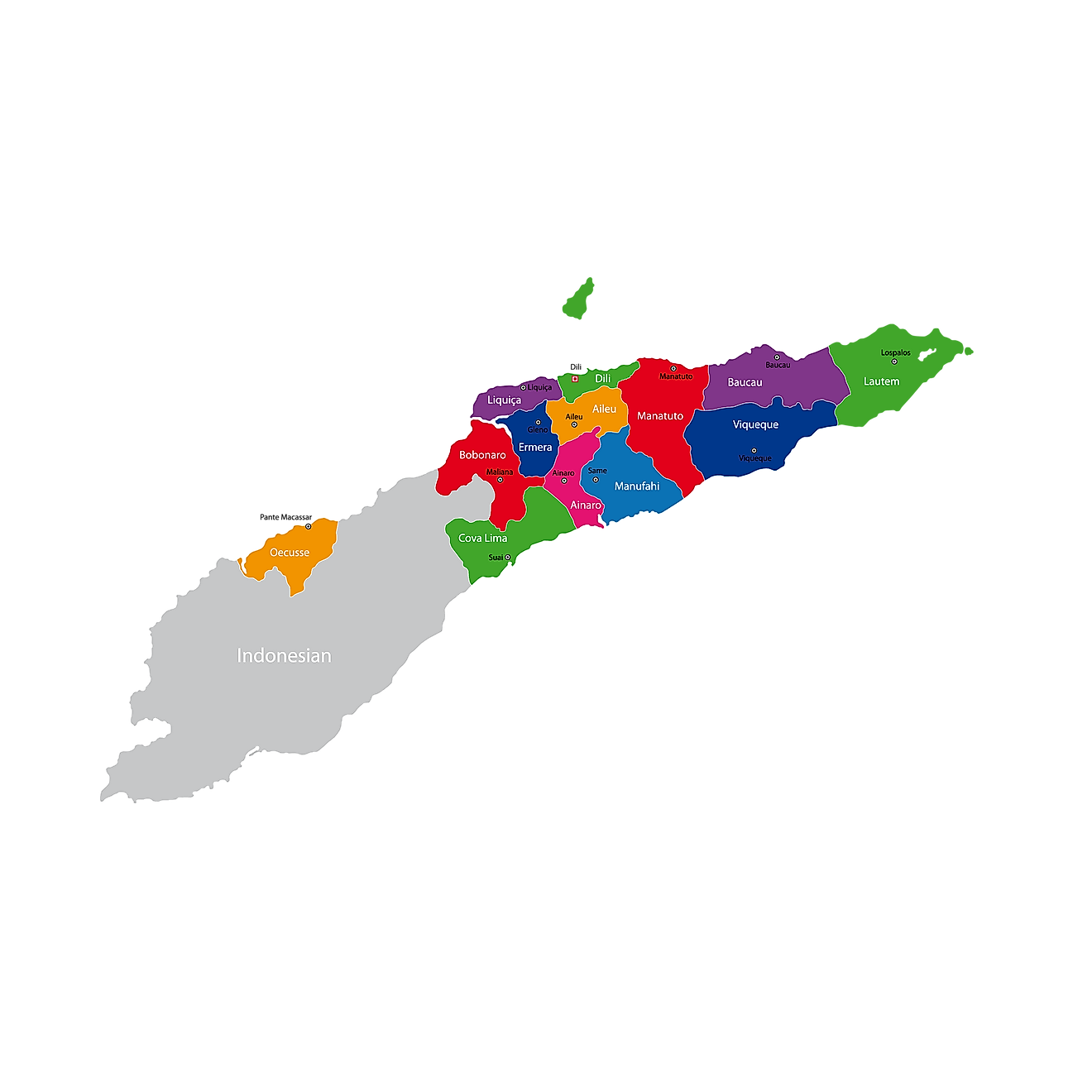
Timor Leste/East Timor is divided into 13 municipalities. In alphabetical order, these municipalities are: Aileu, Ainaro, Baucau, Bobonaro, Cova Lima, Dili, Ermera, Liquiḉẚ, Lautẻm, Manatuto, Manufahi, Oecusse, and Viqueque. These municipalities are further subdivided into 65 administrative posts, 442 villages, and 2,225 aldeias.
With an area of 1,877 sq. km, Viqueque is the largest municipality of the country while Dili is the most populous one. The latter is the capital city of Timor Leste and also the main maritime port and commercial hub of the nation.
Where is Timor-Leste?
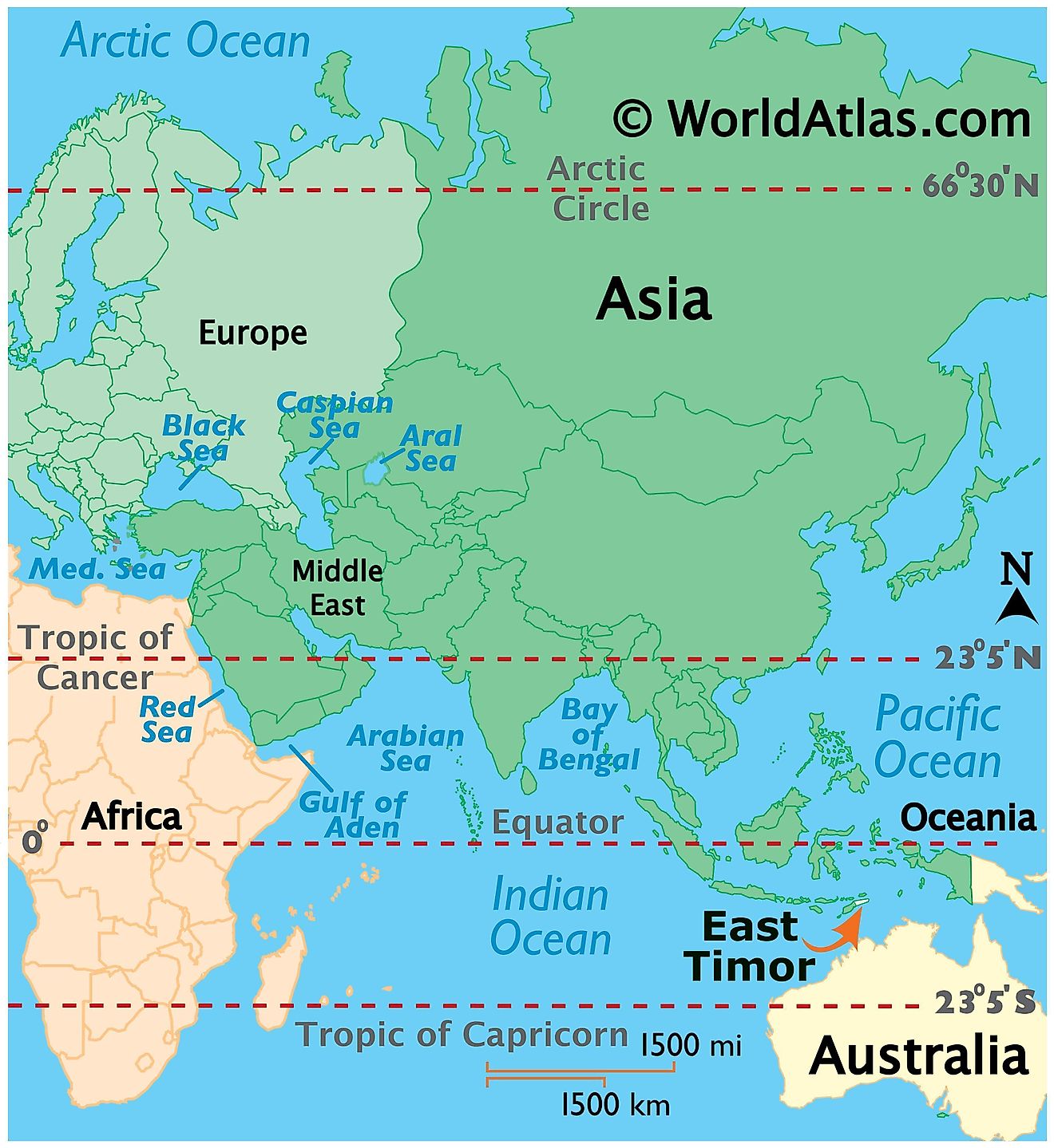
Timor Leste/East Timor is an island country in the Eastern Lesser Sunda Islands, at the southern extreme of the Malay Archipelago in Southeast Asia. Timor Leste is the only Asian Nation to be completely located in the Southern Hemisphere. Its territory covers the eastern half of the Timor island. It also includes an exclave on this island's northwestern side that is bounded by West Timor of Indonesia. It is bounded by the Wetar Strait in the north and the Ombai Strait in the northwest. The Timor Sea bounds it to the southeast and Western Timor of Indonesia to the southwest. Australia is Timor Leste’s southern neighbor. The Timor Sea separates the two countries. Timor Leste also controls the islands of Oecusse, Jaco, and Atauro.
Timor-Leste Bordering Countries: Indonesia.
Regional Maps: Map of Asia
Outline Map of Timor-Leste
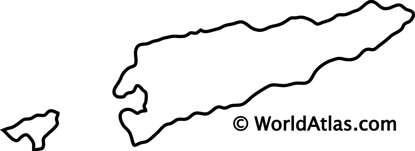
The above map represents the territory of Timor Leste on the island of Timor. Two parts of the country can be seen both of which are part of the island. The map can be downloaded for free, printed, and used for coloring or educational purpose.
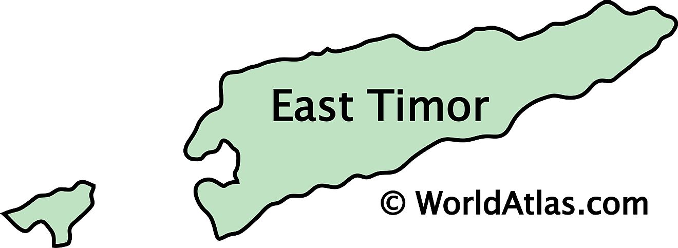
The above map represents the territory of Timor Leste on the island of Timor. Two parts of the country can be seen both of which are part of the island. The larger part occupies the eastern half of the island while the smaller territory is located on the southwestern section of the island where it is bounded by West Timor of Indonesia.
Key Facts
| Legal Name | Democratic Republic of Timor-Leste |
|---|---|
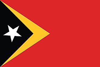
| Flag |
|
| Capital City | Dili |
| 8 35 S, 125 36 E | |
| Total Area | 14,874.00 km2 |
| Land Area | 14,874.00 km2 |
| Water Area | N/A |
| Population | 1,293,119 |
| Currency | US Dollar (USD) |
| GDP | $1.67 Billion |
| GDP Per Capita | $1,294.19 |
This page was last updated on February 25, 2021


