Where is Portage County, Wisconsin?
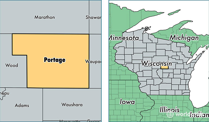
Portage County is a county equivalent area found in Wisconsin, USA. The county government of Portage is found in the county seat of Stevens Point.
With a total 2,131.06 sq. km of land and water area, Portage County, Wisconsin is the 1125th largest county equivalent area in the United States. Home to 70,482 people, Portage County has a total 30194 households earning 50996 on average per year.
Portage County, Wisconsin - Quick Facts
| FIPS Code | 55097 |
| Area Codes | 715 |
| Time Zone | CST |
| Major Cities | Stevens Point (population: 38,520), Plover (population: 13,715), Amherst (population: 3,489), Rosholt (population: 2,715), Custer (population: 2,356), Almond (population: 2,192), Junction City (population: 2,149), Amherst Junction (population: 1,523), Bancroft (population: 1,332), Nelsonville (population: 124) |
| Land Area | 27,213 sq miles |
| Water Area | 801 sq miles |
| Household Income | $50,996 |
| Housing Units | 30,194 |
| Median Home Value | $145,600 |
| High School Grads | 92% of population |
| Holders of Bachelors Degrees | 28% of population |
| Retail Spending | $13,685 per capita |
| Food & Accomodation Sales | $97,014 per capita |
| Universities and Colleges | University of Wisconsin-Stevens Point |
This page was last updated on June 30, 2016.