Where is Jefferson County, Wisconsin?
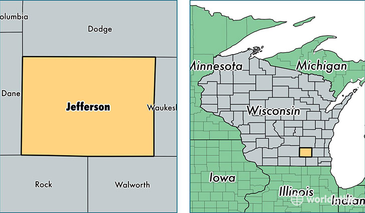
Jefferson County is a county equivalent area found in Wisconsin, USA. The county government of Jefferson is found in the county seat of Jefferson.
With a total 1,509.34 sq. km of land and water area, Jefferson County, Wisconsin is the 1816th largest county equivalent area in the United States. Home to 84,395 people, Jefferson County has a total 35125 households earning 53454 on average per year.
Jefferson County, Wisconsin - Quick Facts
| FIPS Code | 55055 |
| Area Codes | 920,414,262 |
| Time Zone | CST |
| Major Cities | Watertown (population: 19,354), Fort Atkinson (population: 18,646), Jefferson (population: 10,515), Lake Mills (population: 8,353), Waterloo (population: 5,188), Johnson Creek (population: 4,051), Palmyra (population: 3,021), Ixonia (population: 2,741), Sullivan (population: 2,651), Helenville (population: 1,718) |
| Land Area | 32,585 sq miles |
| Water Area | 556 sq miles |
| Household Income | $53,454 |
| Housing Units | 35,125 |
| Median Home Value | $176,900 |
| High School Grads | 91% of population |
| Holders of Bachelors Degrees | 23% of population |
| Retail Spending | $10,715 per capita |
| Food & Accomodation Sales | $86,389 per capita |
This page was last updated on June 30, 2016.