Where is San Saba County, Texas?
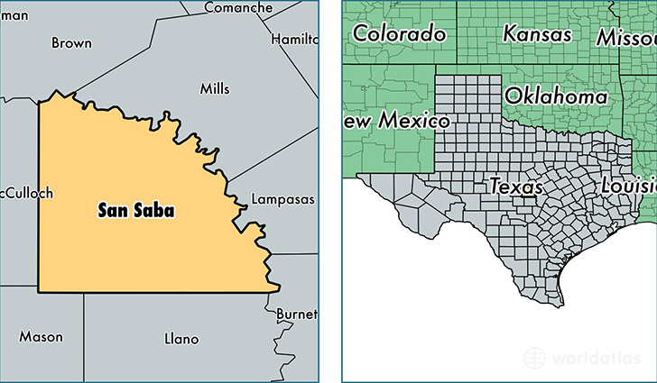
San Saba County is a county equivalent area found in Texas, USA. The county government of San Saba is found in the county seat of San Saba.
With a total 2,948.56 sq. km of land and water area, San Saba County, Texas is the 631st largest county equivalent area in the United States. Home to 5,622 people, San Saba County has a total 3157 households earning 37743 on average per year.
San Saba County, Texas - Quick Facts
| FIPS Code | 48411 |
| Area Codes | 325 |
| Time Zone | CST |
| Major Cities | San Saba (population: 4,462), Richland Springs (population: 767), Cherokee (population: 547), Bend (population: 34) |
| Land Area | 2,171 sq miles |
| Water Area | 1,135 sq miles |
| Household Income | $37,743 |
| Housing Units | 3,157 |
| Median Home Value | $71,300 |
| High School Grads | 81% of population |
| Holders of Bachelors Degrees | 13% of population |
| Retail Spending | $10,246 per capita |
| Food & Accomodation Sales | $4,105 per capita |
This page was last updated on June 30, 2016.