Where is Williamsburg County, South Carolina?
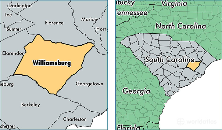
Williamsburg County is a county equivalent area found in South Carolina, USA. The county government of Williamsburg is found in the county seat of Kingstree.
With a total 2,426.93 sq. km of land and water area, Williamsburg County, South Carolina is the 860th largest county equivalent area in the United States. Home to 32,695 people, Williamsburg County has a total 15085 households earning 25849 on average per year.
Williamsburg County, South Carolina - Quick Facts
| FIPS Code | 45089 |
| Area Codes | 843 |
| Time Zone | EST |
| Major Cities | Kingstree (population: 12,569), Salters (population: 3,591), Greeleyville (population: 2,391), Nesmith (population: 1,416), Cades (population: 1,203), Lane (population: 962) |
| Land Area | 12,624 sq miles |
| Water Area | 934 sq miles |
| Household Income | $25,849 |
| Housing Units | 15,085 |
| Median Home Value | $67,100 |
| High School Grads | 78% of population |
| Holders of Bachelors Degrees | 12% of population |
| Retail Spending | $6,367 per capita |
| Food & Accomodation Sales | $12,820 per capita |
| Universities and Colleges | Williamsburg Technical College |
This page was last updated on June 30, 2016.