Where is Clarendon County, South Carolina?
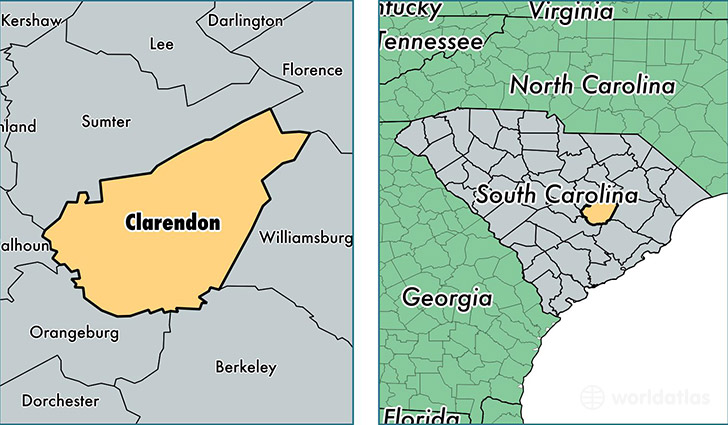
Clarendon County is a county equivalent area found in South Carolina, USA. The county government of Clarendon is found in the county seat of Manning.
With a total 1,801.73 sq. km of land and water area, Clarendon County, South Carolina is the 1453rd largest county equivalent area in the United States. Home to 34,113 people, Clarendon County has a total 17249 households earning 31410 on average per year.
Clarendon County, South Carolina - Quick Facts
| FIPS Code | 45027 |
| Area Codes | 803,843 |
| Time Zone | EST |
| Major Cities | Manning (population: 17,927), Summerton (population: 6,120), Turbeville (population: 4,050), Pinewood (population: 3,054), Alcolu (population: 2,113), New Zion (population: 1,602), Gable (population: 946) |
| Land Area | 13,171 sq miles |
| Water Area | 607 sq miles |
| Household Income | $31,410 |
| Housing Units | 17,249 |
| Median Home Value | $85,900 |
| High School Grads | 78% of population |
| Holders of Bachelors Degrees | 13% of population |
| Retail Spending | $9,062 per capita |
| Food & Accomodation Sales | $29,787 per capita |
This page was last updated on June 30, 2016.