Where is Huntingdon County, Pennsylvania?
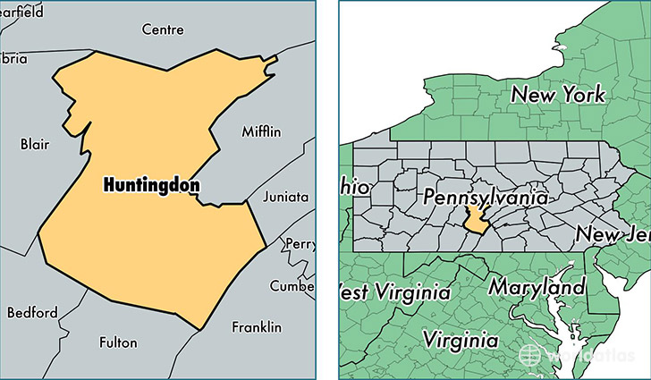
Huntingdon County is a county equivalent area found in Pennsylvania, USA. The county government of Huntingdon is found in the county seat of Huntingdon.
With a total 2,303.19 sq. km of land and water area, Huntingdon County, Pennsylvania is the 1002nd largest county equivalent area in the United States. Home to 45,750 people, Huntingdon County has a total 22290 households earning 44183 on average per year.
Huntingdon County, Pennsylvania - Quick Facts
| FIPS Code | 42061 |
| Area Codes | 814,717 |
| Time Zone | EST |
| Major Cities | Huntingdon (population: 18,039), Mount Union (population: 5,353), Alexandria (population: 2,411), Petersburg (population: 2,352), Three Springs (population: 2,305), Mapleton Depot (population: 1,636), James Creek (population: 1,343), Mill Creek (population: 1,334), Orbisonia (population: 1,330), Shirleysburg (population: 1,164) |
| Land Area | 17,664 sq miles |
| Water Area | 875 sq miles |
| Household Income | $44,183 |
| Housing Units | 22,290 |
| Median Home Value | $115,000 |
| High School Grads | 88% of population |
| Holders of Bachelors Degrees | 14% of population |
| Retail Spending | $7,977 per capita |
| Food & Accomodation Sales | $40,380 per capita |
| Universities and Colleges | Du Bois Business College |
This page was last updated on June 30, 2016.