Where is Clearfield County, Pennsylvania?
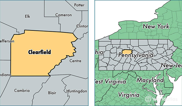
Clearfield County is a county equivalent area found in Pennsylvania, USA. The county government of Clearfield is found in the county seat of Clearfield.
With a total 2,988.75 sq. km of land and water area, Clearfield County, Pennsylvania is the 614th largest county equivalent area in the United States. Home to 81,191 people, Clearfield County has a total 38415 households earning 41030 on average per year.
Clearfield County, Pennsylvania - Quick Facts
| FIPS Code | 42033 |
| Area Codes | 814 |
| Time Zone | EST |
| Major Cities | Du Bois (population: 19,161), Clearfield (population: 13,618), Houtzdale (population: 5,780), Curwensville (population: 5,312), Morrisdale (population: 3,667), Osceola Mills (population: 2,948), Coalport (population: 2,264), Woodland (population: 2,219), Grampian (population: 1,810), West Decatur (population: 1,752) |
| Land Area | 31,348 sq miles |
| Water Area | 1,145 sq miles |
| Household Income | $41,030 |
| Housing Units | 38,415 |
| Median Home Value | $85,100 |
| High School Grads | 87% of population |
| Holders of Bachelors Degrees | 14% of population |
| Retail Spending | $13,875 per capita |
| Food & Accomodation Sales | $88,010 per capita |
| Universities and Colleges | Du Bois Business College |
This page was last updated on June 30, 2016.