Where is Butler County, Pennsylvania?
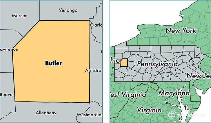
Butler County is a county equivalent area found in Pennsylvania, USA. The county government of Butler is found in the county seat of Butler.
With a total 2,058.4 sq. km of land and water area, Butler County, Pennsylvania is the 1192nd largest county equivalent area in the United States. Home to 185,943 people, Butler County has a total 78930 households earning 58230 on average per year.
Butler County, Pennsylvania - Quick Facts
| FIPS Code | 42019 |
| Area Codes | 724 |
| Time Zone | EST |
| Major Cities | Butler (population: 56,586), Cranberry Township (population: 28,229), Mars (population: 14,480), Slippery Rock (population: 13,976), Sarver (population: 8,533), Valencia (population: 7,784), Zelienople (population: 6,594), Evans City (population: 6,202), Chicora (population: 5,591), Saxonburg (population: 4,819) |
| Land Area | 71,793 sq miles |
| Water Area | 788 sq miles |
| Household Income | $58,230 |
| Housing Units | 78,930 |
| Median Home Value | $169,700 |
| High School Grads | 93% of population |
| Holders of Bachelors Degrees | 31% of population |
| Retail Spending | $13,849 per capita |
| Food & Accomodation Sales | $269,549 per capita |
| Universities and Colleges | Butler County Community College |
This page was last updated on June 30, 2016.