Where is Wood County, Ohio?
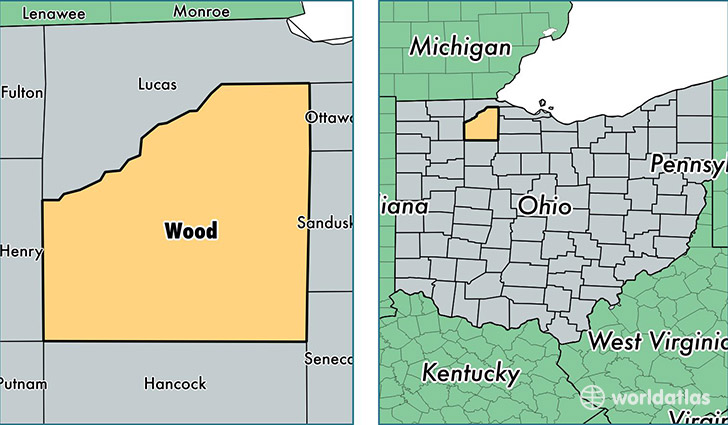
Wood County is a county equivalent area found in Ohio, USA. The county government of Wood is found in the county seat of Bowling Green.
With a total 1,607.05 sq. km of land and water area, Wood County, Ohio is the 1671st largest county equivalent area in the United States. Home to 129,590 people, Wood County has a total 53562 households earning 52069 on average per year.
Wood County, Ohio - Quick Facts
| FIPS Code | 39173 |
| Area Codes | 419 |
| Time Zone | EST |
| Major Cities | Perrysburg (population: 37,801), Bowling Green (population: 37,116), Northwood (population: 7,661), Rossford (population: 6,424), Walbridge (population: 5,168), North Baltimore (population: 4,331), Pemberville (population: 3,697), Millbury (population: 3,510), Grand Rapids (population: 3,369), Weston (population: 2,878) |
| Land Area | 50,035 sq miles |
| Water Area | 617 sq miles |
| Household Income | $52,069 |
| Housing Units | 53,562 |
| Median Home Value | $149,500 |
| High School Grads | 93% of population |
| Holders of Bachelors Degrees | 30% of population |
| Retail Spending | $12,175 per capita |
| Food & Accomodation Sales | $191,076 per capita |
| Universities and Colleges | Bowling Green State University-Main Campus |
This page was last updated on June 30, 2016.