Where is Wayne County, Nebraska?
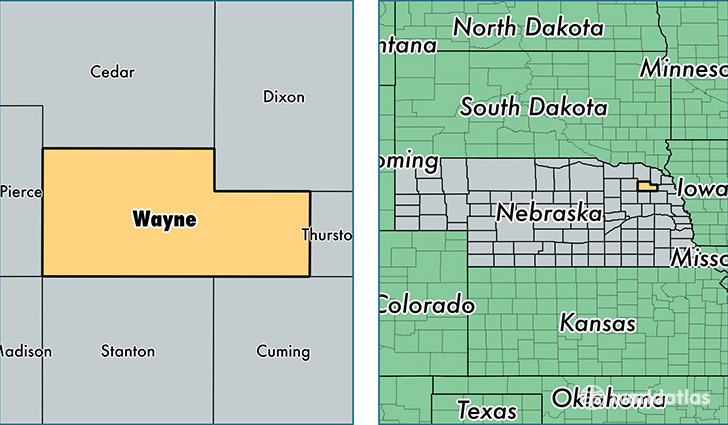
Wayne County is a county equivalent area found in Nebraska, USA. The county government of Wayne is found in the county seat of Wayne.
With a total 1,148.23 sq. km of land and water area, Wayne County, Nebraska is the 2374th largest county equivalent area in the United States. Home to 9,431 people, Wayne County has a total 3791 households earning 52147 on average per year.
Wayne County, Nebraska - Quick Facts
| FIPS Code | 31179 |
| Area Codes | 402 |
| Time Zone | CST |
| Major Cities | Wayne (population: 6,618), Hoskins (population: 888), Winside (population: 773), Carroll (population: 563) |
| Land Area | 3,641 sq miles |
| Water Area | 443 sq miles |
| Household Income | $52,147 |
| Housing Units | 3,791 |
| Median Home Value | $103,200 |
| High School Grads | 94% of population |
| Holders of Bachelors Degrees | 33% of population |
| Retail Spending | $8,580 per capita |
| Food & Accomodation Sales | $9,314 per capita |
This page was last updated on June 30, 2016.