Where is Jacksonville, NC?
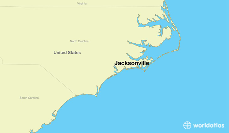
Jacksonville is a city found in North Carolina, The United States Of America. It is located 34.75 latitude and -77.43 longitude and it is situated at elevation 7 meters above sea level.
Jacksonville has a population of 70,145 making it the 15th biggest city in North Carolina. It operates on the EDT time zone, which means that it follows the same time zone as Charlotte.
Quick facts
| Country | The United States Of America |
| State | North Carolina |
| Population | 70,145 |
| Elevation | 7 m over sea level |
| Time Zone | EDT |
| Longitude | -77.430240 |
| Latitude | 34.754050 |
Jacksonville has a population of around 68315, of which 39971 (58%) are male and 28344 (41%) are female. The average age of the inhabitants of Jacksonville is 27.83, meaning that the average person is below the national median age of 37. For every male, there are approximately 0.71 females, meaning that the male population is significantly higher than the female one.
Of Jacksonville's 68315 residents, around 64422 (94.30%) identify as having a single race. The majority of the population is white, which consists of 65.70% of the population. Of the remaining population, 14527 are black/African Americans (21.30%), 466 are native Americans (0.70%), 1584 are asians (2.30%), 276 are pacific islanders (0.40%), 2696 are other (3.90%).
The median income of households in Jacksonville is $40918.00, meaning that most of the households are above the poverty threshold for families of three. Of the total population, 6.40% of households reported an annual income of less than $10,000.
Jacksonville, NC Zipcodes
The city of Jacksonville has 5 zipcodes recognized by the United States Census Bureau: 28540, 28543, 28544, 28546, 28547.