Where is Asheville, NC?
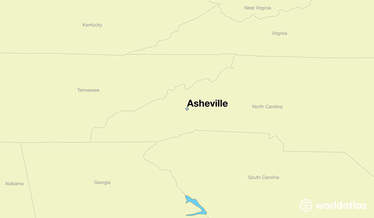
Asheville is a city found in North Carolina, The United States Of America. It is located 35.60 latitude and -82.55 longitude and it is situated at elevation 650 meters above sea level.
Asheville has a population of 83,393 making it the 12th biggest city in North Carolina. It operates on the EDT time zone, which means that it follows the same time zone as Charlotte.
Quick facts
| Country | The United States Of America |
| State | North Carolina |
| Population | 83,393 |
| Elevation | 650 m over sea level |
| Time Zone | EDT |
| Longitude | -82.554020 |
| Latitude | 35.600950 |
Asheville has a population of around 86789, of which 40330 (46%) are male and 46459 (53%) are female. The average age of the inhabitants of Asheville is 39.42, meaning that the average person is above the national median age of 37. For every male, there are approximately 1.15 females, meaning that the population is relatively evenly distributed between males and female(s).
Of Asheville's 86789 residents, around 84788 (97.70%) identify as having a single race. The majority of the population is white, which consists of 82.10% of the population. Of the remaining population, 10702 are black/African Americans (12.30%), 372 are native Americans (0.40%), 1813 are asians (2.10%), 6 are pacific islanders (0.00%), 664 are other (0.80%).
The median income of households in Asheville is $43334.00, meaning that most of the households are above the poverty threshold for families of three. Of the total population, 7.80% of households reported an annual income of less than $10,000.
Asheville, NC Zipcodes
The city of Asheville has 8 zipcodes recognized by the United States Census Bureau: 28704, 28715, 28732, 28801, 28803, 28804, 28805, 28806.