Where is Wheatland County, Montana?
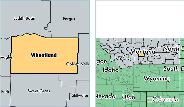
Wheatland County is a county equivalent area found in Montana, USA. The county government of Wheatland is found in the county seat of Harlowton.
With a total 3,699.12 sq. km of land and water area, Wheatland County, Montana is the 476th largest county equivalent area in the United States. Home to 2,102 people, Wheatland County has a total 1188 households earning 31867 on average per year.
Wheatland County, Montana - Quick Facts
| FIPS Code | 30107 |
| Area Codes | 406 |
| Time Zone | MST |
| Major Cities | Harlowton (population: 1,460), Judith Gap (population: 352), Shawmut (population: 140), Two Dot (population: 85) |
| Land Area | 812 sq miles |
| Water Area | 1,423 sq miles |
| Household Income | $31,867 |
| Housing Units | 1,188 |
| Median Home Value | $78,400 |
| High School Grads | 80% of population |
| Holders of Bachelors Degrees | 19% of population |
| Retail Spending | $9,127 per capita |
| Food & Accomodation Sales | $1,574 per capita |
This page was last updated on June 30, 2016.