Where is Carbon County, Montana?
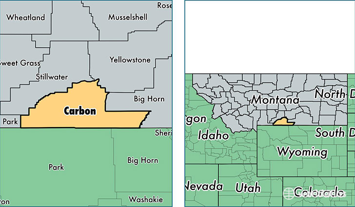
Carbon County is a county equivalent area found in Montana, USA. The county government of Carbon is found in the county seat of Red Lodge.
With a total 5,340.96 sq. km of land and water area, Carbon County, Montana is the 307th largest county equivalent area in the United States. Home to 10,399 people, Carbon County has a total 6446 households earning 47831 on average per year.
Carbon County, Montana - Quick Facts
| FIPS Code | 30009 |
| Area Codes | 406 |
| Time Zone | MST |
| Major Cities | Red Lodge (population: 3,597), Joliet (population: 1,960), Bridger (population: 1,453), Roberts (population: 1,052), Fromberg (population: 736), Belfry (population: 411), Edgar (population: 194), Boyd (population: 127), Bearcreek (population: 113), Roscoe (population: 104) |
| Land Area | 4,015 sq miles |
| Water Area | 2,049 sq miles |
| Household Income | $47,831 |
| Housing Units | 6,446 |
| Median Home Value | $205,900 |
| High School Grads | 93% of population |
| Holders of Bachelors Degrees | 28% of population |
| Retail Spending | $6,219 per capita |
| Food & Accomodation Sales | $18,542 per capita |
This page was last updated on June 30, 2016.