Where is Springfield, MO?
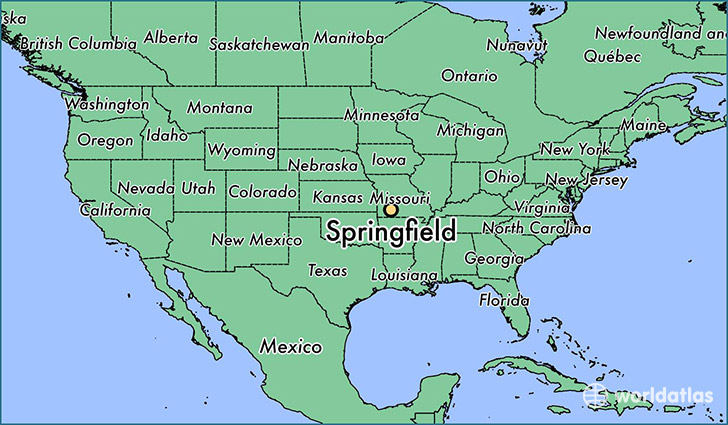
Springfield is a city found in Missouri, The United States Of America. It is located 37.22 latitude and -93.30 longitude and it is situated at elevation 399 meters above sea level.
Springfield has a population of 159,498 making it the 3rd biggest city in Missouri. It operates on the CDT time zone, which means that it follows the same time zone as Kansas City.
Quick facts
| Country | The United States Of America |
| State | Missouri |
| Population | 159,498 |
| Elevation | 399 m over sea level |
| Time Zone | CDT |
| Longitude | -93.298240 |
| Latitude | 37.215330 |
Springfield has a population of around 163763, of which 79096 (48%) are male and 84667 (51%) are female. The average age of the inhabitants of Springfield is 37.07, meaning that the average person is above the national median age of 37. For every male, there are approximately 1.07 females, meaning that the population is relatively evenly distributed between males and female(s).
Of Springfield's 163763 residents, around 158941 (97.10%) identify as having a single race. The majority of the population is white, which consists of 89.10% of the population. Of the remaining population, 7043 are black/African Americans (4.30%), 901 are native Americans (0.60%), 3416 are asians (2.10%), 308 are pacific islanders (0.20%), 1336 are other (0.80%).
The median income of households in Springfield is $33557.00, meaning that most of the households are above the poverty threshold for families of three. Of the total population, 11.50% of households reported an annual income of less than $10,000.
Springfield, MO Zipcodes
The city of Springfield has 12 zipcodes recognized by the United States Census Bureau: 65619, 65714, 65721, 65742, 65757, 65802, 65803, 65804, 65806, 65807, 65809, 65810.