Where is Mower County, Minnesota?
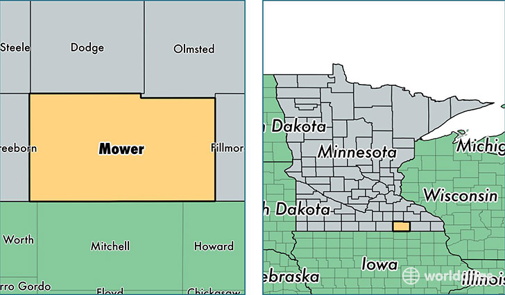
Mower County is a county equivalent area found in Minnesota, USA. The county government of Mower is found in the county seat of Austin.
With a total 1,842.95 sq. km of land and water area, Mower County, Minnesota is the 1414th largest county equivalent area in the United States. Home to 39,323 people, Mower County has a total 16936 households earning 46004 on average per year.
Mower County, Minnesota - Quick Facts
| FIPS Code | 27099 |
| Area Codes | 507 |
| Time Zone | CST |
| Major Cities | Austin (population: 28,628), Grand Meadow (population: 1,870), Le Roy (population: 1,574), Adams (population: 1,435), Rose Creek (population: 1,021), Brownsdale (population: 987), Racine (population: 943), Lyle (population: 898), Dexter (population: 857), Waltham (population: 438) |
| Land Area | 15,183 sq miles |
| Water Area | 711 sq miles |
| Household Income | $46,004 |
| Housing Units | 16,936 |
| Median Home Value | $106,000 |
| High School Grads | 87% of population |
| Holders of Bachelors Degrees | 17% of population |
| Retail Spending | $9,133 per capita |
| Food & Accomodation Sales | $41,794 per capita |
This page was last updated on June 30, 2016.