Where is Harford County, Maryland?
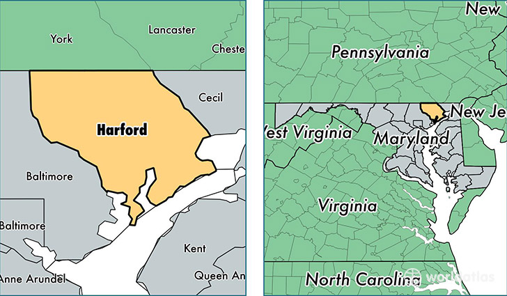
Harford County is a county equivalent area found in Maryland, USA. The county government of Harford is found in the county seat of Bel Air.
With a total 1,364. sq. km of land and water area, Harford County, Maryland is the 2082nd largest county equivalent area in the United States. Home to 250,105 people, Harford County has a total 97372 households earning 80622 on average per year.
Harford County, Maryland - Quick Facts
| FIPS Code | 24025 |
| Area Codes | 410 |
| Time Zone | EST |
| Major Cities | Bel Air (population: 64,798), Abingdon (population: 30,227), Edgewood (population: 24,798), Aberdeen (population: 21,820), Forest Hill (population: 18,484), Havre de Grace (population: 17,875), Joppa (population: 16,421), Fallston (population: 12,057), Jarrettsville (population: 7,770), Belcamp (population: 7,171) |
| Land Area | 96,566 sq miles |
| Water Area | 437 sq miles |
| Household Income | $80,622 |
| Housing Units | 97,372 |
| Median Home Value | $281,800 |
| High School Grads | 92% of population |
| Holders of Bachelors Degrees | 33% of population |
| Retail Spending | $14,066 per capita |
| Food & Accomodation Sales | $361,855 per capita |
This page was last updated on June 30, 2016.