Where is Lawrence, MA?
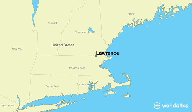
Lawrence is a city found in Massachusetts, The United States Of America. It is located 42.71 latitude and -71.16 longitude and it is situated at elevation 20 meters above sea level.
Lawrence has a population of 76,377 making it the 13th biggest city in Massachusetts. It operates on the EDT time zone, which means that it follows the same time zone as Boston.
Quick facts
| Country | The United States Of America |
| State | Massachusetts |
| Population | 76,377 |
| Elevation | 20 m over sea level |
| Time Zone | EDT |
| Longitude | -71.163110 |
| Latitude | 42.707040 |
Lawrence has a population of around 78804, of which 37557 (47%) are male and 41247 (52%) are female. The average age of the inhabitants of Lawrence is 33.43, meaning that the average person is below the national median age of 37. For every male, there are approximately 1.1 females, meaning that the population is relatively evenly distributed between males and female(s).
Of Lawrence's 78804 residents, around 76669 (97.30%) identify as having a single race. Of the population, 32245 are white (40.90%), 6160 are black/African Americans (7.80%), 166 are native Americans (0.20%), 2319 are asians (2.90%), 35779 are other (45.00%).
The median income of households in Lawrence is $34852.00, meaning that most of the households are above the poverty threshold for families of three. Of the total population, 12.40% of households reported an annual income of less than $10,000.
Lawrence, MA Zipcodes
The city of Lawrence has 3 zipcodes recognized by the United States Census Bureau: 1840, 1841, 1843.