Where is Metairie, LA?
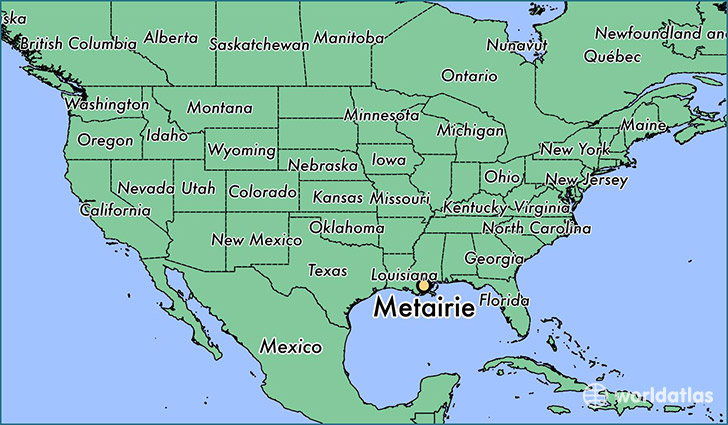
Metairie is a city found in Louisiana, The United States Of America. It is located 29.98 latitude and -90.15 longitude and it is situated at elevation 9 meters above sea level.
Metairie has a population of 138,481 making it the 5th biggest city in Louisiana. It operates on the CDT time zone, which means that it follows the same time zone as New Orleans.
Quick facts
| Country | The United States Of America |
| State | Louisiana |
| Population | 138,481 |
| Elevation | 9 m over sea level |
| Time Zone | CDT |
| Longitude | -90.152850 |
| Latitude | 29.984090 |
Metairie has a population of around 142715, of which 69378 (48%) are male and 73337 (51%) are female. The average age of the inhabitants of Metairie is 40.78, meaning that the average person is above the national median age of 37. For every male, there are approximately 1.06 females, meaning that the population is relatively evenly distributed between males and female(s).
Of Metairie's 142715 residents, around 139834 (98.00%) identify as having a single race. The majority of the population is white, which consists of 82.10% of the population. Of the remaining population, 13956 are black/African Americans (9.80%), 412 are native Americans (0.30%), 5459 are asians (3.80%), 3 are pacific islanders (0.00%), 2766 are other (1.90%).
The median income of households in Metairie is $52421.00, meaning that most of the households are above the poverty threshold for families of three. Of the total population, 7.40% of households reported an annual income of less than $10,000.
Metairie, LA Zipcodes
The city of Metairie has 7 zipcodes recognized by the United States Census Bureau: 70001, 70002, 70003, 70005, 70006, 70062, 70065.