Where is Simpson County, Kentucky?
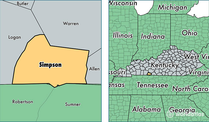
Simpson County is a county equivalent area found in Kentucky, USA. The county government of Simpson is found in the county seat of Franklin.
With a total 612.44 sq. km of land and water area, Simpson County, Kentucky is the 2968th largest county equivalent area in the United States. Home to 17,826 people, Simpson County has a total 7529 households earning 39546 on average per year.
Simpson County, Kentucky - Quick Facts
| FIPS Code | 21213 |
| Area Codes | 270 |
| Time Zone | CST |
| Major Cities | Franklin (population: 16,989) |
| Land Area | 6,883 sq miles |
| Water Area | 234 sq miles |
| Household Income | $39,546 |
| Housing Units | 7,529 |
| Median Home Value | $115,200 |
| High School Grads | 83% of population |
| Holders of Bachelors Degrees | 15% of population |
| Retail Spending | $24,342 per capita |
| Food & Accomodation Sales | $29,682 per capita |
This page was last updated on June 30, 2016.