Where is Madison County, Kentucky?
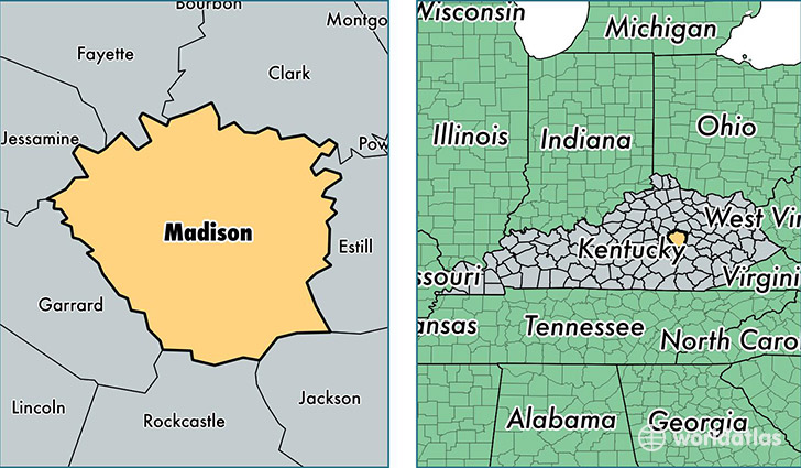
Madison County is a county equivalent area found in Kentucky, USA. The county government of Madison is found in the county seat of Richmond.
With a total 1,148.03 sq. km of land and water area, Madison County, Kentucky is the 2375th largest county equivalent area in the United States. Home to 87,340 people, Madison County has a total 35514 households earning 42312 on average per year.
Madison County, Kentucky - Quick Facts
| FIPS Code | 21151 |
| Area Codes | 859 |
| Time Zone | EST |
| Major Cities | Richmond (population: 57,061), Berea (population: 24,911), Waco (population: 3,201) |
| Land Area | 33,722 sq miles |
| Water Area | 437 sq miles |
| Household Income | $42,312 |
| Housing Units | 35,514 |
| Median Home Value | $141,100 |
| High School Grads | 85% of population |
| Holders of Bachelors Degrees | 28% of population |
| Retail Spending | $12,008 per capita |
| Food & Accomodation Sales | $127,253 per capita |
This page was last updated on June 30, 2016.