Where is Fayette County, Kentucky?
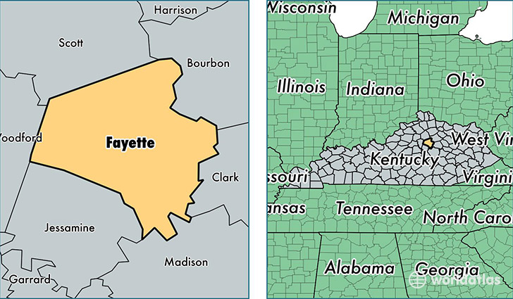
Fayette County is a county equivalent area found in Kentucky, USA. The county government of Fayette is found in the county seat of Lexington.
With a total 739.57 sq. km of land and water area, Fayette County, Kentucky is the 2877th largest county equivalent area in the United States. Home to 310,797 people, Fayette County has a total 137908 households earning 48398 on average per year.
Fayette County, Kentucky - Quick Facts
| FIPS Code | 21067 |
| Area Codes | 859 |
| Time Zone | EST |
| Major Cities | Lexington (population: 306,660) |
| Land Area | 119,999 sq miles |
| Water Area | 284 sq miles |
| Household Income | $48,398 |
| Housing Units | 137,908 |
| Median Home Value | $165,800 |
| High School Grads | 89% of population |
| Holders of Bachelors Degrees | 40% of population |
| Retail Spending | $16,635 per capita |
| Food & Accomodation Sales | $785,725 per capita |
| Universities and Colleges | University of Kentucky |
This page was last updated on June 30, 2016.