Where is Linn County, Kansas?
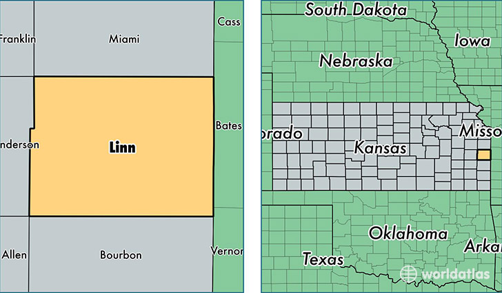
Linn County is a county equivalent area found in Kansas, USA. The county government of Linn is found in the county seat of Mound City.
With a total 1,570.56 sq. km of land and water area, Linn County, Kansas is the 1721st largest county equivalent area in the United States. Home to 9,502 people, Linn County has a total 5409 households earning 45519 on average per year.
Linn County, Kansas - Quick Facts
| FIPS Code | 20107 |
| Area Codes | 913 |
| Time Zone | CST |
| Major Cities | Lacygne (population: 3,333), Pleasanton (population: 2,056), Mound City (population: 1,656), Parker (population: 1,030), Blue Mound (population: 592), Prescott (population: 499) |
| Land Area | 3,669 sq miles |
| Water Area | 594 sq miles |
| Household Income | $45,519 |
| Housing Units | 5,409 |
| Median Home Value | $98,000 |
| High School Grads | 89% of population |
| Holders of Bachelors Degrees | 14% of population |
| Retail Spending | $4,981 per capita |
| Food & Accomodation Sales | $1,271 per capita |
This page was last updated on June 30, 2016.