Where is Edwards County, Kansas?
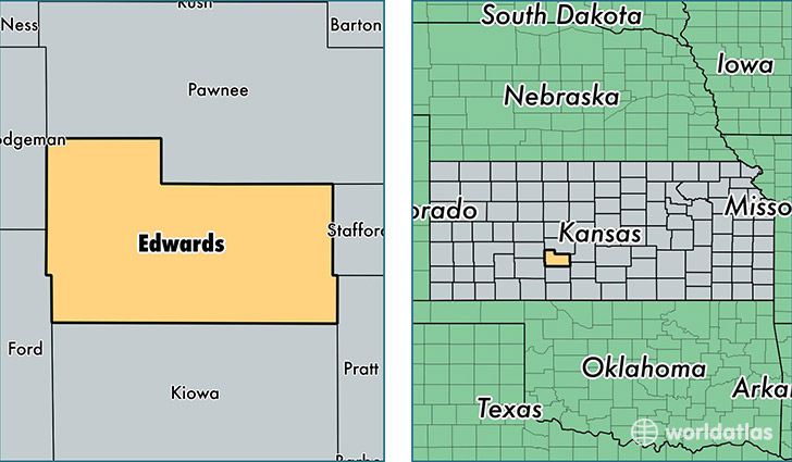
Edwards County is a county equivalent area found in Kansas, USA. The county government of Edwards is found in the county seat of Kinsley.
With a total 1,610.91 sq. km of land and water area, Edwards County, Kansas is the 1662nd largest county equivalent area in the United States. Home to 3,030 people, Edwards County has a total 1624 households earning 46551 on average per year.
Edwards County, Kansas - Quick Facts
| FIPS Code | 20047 |
| Area Codes | 620 |
| Time Zone | CST |
| Major Cities | Kinsley (population: 1,736), Lewis (population: 706), Offerle (population: 367), Belpre (population: 189) |
| Land Area | 1,170 sq miles |
| Water Area | 622 sq miles |
| Household Income | $46,551 |
| Housing Units | 1,624 |
| Median Home Value | $56,500 |
| High School Grads | 86% of population |
| Holders of Bachelors Degrees | 22% of population |
| Retail Spending | $3,987 per capita |
This page was last updated on June 30, 2016.