Where is Decatur County, Kansas?
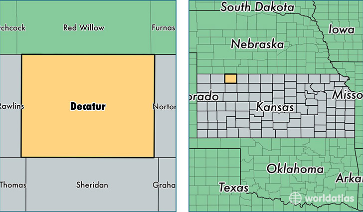
Decatur County is a county equivalent area found in Kansas, USA. The county government of Decatur is found in the county seat of Oberlin.
With a total 2,315.83 sq. km of land and water area, Decatur County, Kansas is the 990th largest county equivalent area in the United States. Home to 2,908 people, Decatur County has a total 1806 households earning 39333 on average per year.
Decatur County, Kansas - Quick Facts
| FIPS Code | 20039 |
| Area Codes | 785 |
| Time Zone | CST |
| Major Cities | Oberlin (population: 2,247), Norcatur (population: 290), Jennings (population: 189), Dresden (population: 164) |
| Land Area | 1,123 sq miles |
| Water Area | 893 sq miles |
| Household Income | $39,333 |
| Housing Units | 1,806 |
| Median Home Value | $53,500 |
| High School Grads | 90% of population |
| Holders of Bachelors Degrees | 20% of population |
| Retail Spending | $5,793 per capita |
| Food & Accomodation Sales | $1,538 per capita |
This page was last updated on June 30, 2016.