Where is Wells County, Indiana?
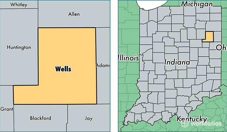
Wells County is a county equivalent area found in Indiana, USA. The county government of Wells is found in the county seat of Bluffton.
With a total 958.94 sq. km of land and water area, Wells County, Indiana is the 2687th largest county equivalent area in the United States. Home to 27,862 people, Wells County has a total 11643 households earning 48136 on average per year.
Wells County, Indiana - Quick Facts
| FIPS Code | 18179 |
| Area Codes | 260 |
| Time Zone | EST |
| Major Cities | Bluffton (population: 14,652), Ossian (population: 6,263), Markle (population: 2,713), Uniondale (population: 918), Poneto (population: 793), Liberty Center (population: 685), Keystone (population: 652), Craigville (population: 559) |
| Land Area | 10,758 sq miles |
| Water Area | 368 sq miles |
| Household Income | $48,136 |
| Housing Units | 11,643 |
| Median Home Value | $112,500 |
| High School Grads | 91% of population |
| Holders of Bachelors Degrees | 16% of population |
| Retail Spending | $7,969 per capita |
| Food & Accomodation Sales | $19,285 per capita |
This page was last updated on June 30, 2016.