Where is Sullivan County, Indiana?
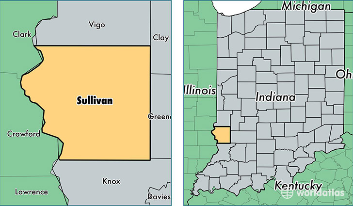
Sullivan County is a county equivalent area found in Indiana, USA. The county government of Sullivan is found in the county seat of Sullivan.
With a total 1,176.15 sq. km of land and water area, Sullivan County, Indiana is the 2328th largest county equivalent area in the United States. Home to 21,050 people, Sullivan County has a total 8829 households earning 43510 on average per year.
Sullivan County, Indiana - Quick Facts
| FIPS Code | 18153 |
| Area Codes | 812 |
| Time Zone | EST |
| Major Cities | Sullivan (population: 8,317), Carlisle (population: 4,026), Shelburn (population: 3,257), Farmersburg (population: 2,432), Dugger (population: 1,669), Merom (population: 607), Hymera (population: 538), Fairbanks (population: 489), Paxton (population: 77) |
| Land Area | 8,127 sq miles |
| Water Area | 447 sq miles |
| Household Income | $43,510 |
| Housing Units | 8,829 |
| Median Home Value | $77,600 |
| High School Grads | 85% of population |
| Holders of Bachelors Degrees | 13% of population |
| Retail Spending | $6,894 per capita |
| Food & Accomodation Sales | $14,252 per capita |
This page was last updated on June 30, 2016.