Where is Ripley County, Indiana?
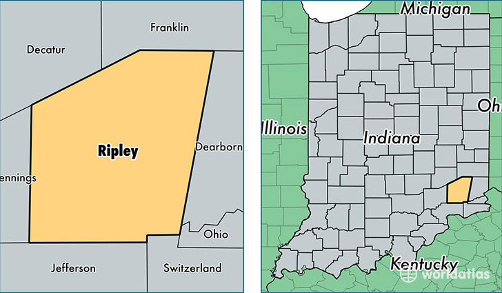
Ripley County is a county equivalent area found in Indiana, USA. The county government of Ripley is found in the county seat of Versailles.
With a total 1,160.47 sq. km of land and water area, Ripley County, Indiana is the 2351st largest county equivalent area in the United States. Home to 28,497 people, Ripley County has a total 12018 households earning 47537 on average per year.
Ripley County, Indiana - Quick Facts
| FIPS Code | 18137 |
| Area Codes | 812 |
| Time Zone | EST |
| Major Cities | Sunman (population: 6,085), Milan (population: 5,324), Versailles (population: 4,467), Osgood (population: 4,297), Holton (population: 1,622), Cross Plains (population: 502), Napoleon (population: 156), Friendship (population: 56) |
| Land Area | 11,003 sq miles |
| Water Area | 446 sq miles |
| Household Income | $47,537 |
| Housing Units | 12,018 |
| Median Home Value | $132,000 |
| High School Grads | 86% of population |
| Holders of Bachelors Degrees | 16% of population |
| Retail Spending | $9,347 per capita |
| Food & Accomodation Sales | $18,675 per capita |
This page was last updated on June 30, 2016.