Where is Putnam County, Indiana?
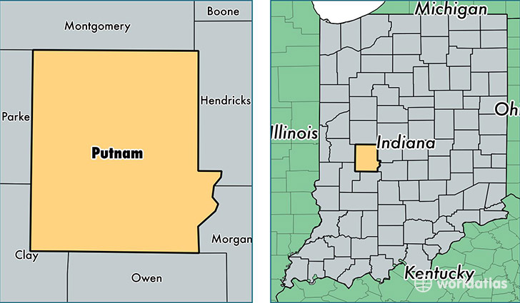
Putnam County is a county equivalent area found in Indiana, USA. The county government of Putnam is found in the county seat of Greencastle.
With a total 1,250.17 sq. km of land and water area, Putnam County, Indiana is the 2238th largest county equivalent area in the United States. Home to 37,618 people, Putnam County has a total 14734 households earning 50821 on average per year.
Putnam County, Indiana - Quick Facts
| FIPS Code | 18133 |
| Area Codes | 765 |
| Time Zone | EST |
| Major Cities | Greencastle (population: 20,873), Cloverdale (population: 5,919), Roachdale (population: 2,413), Fillmore (population: 1,938), Bainbridge (population: 1,917), Reelsville (population: 1,685), Russellville (population: 593) |
| Land Area | 14,524 sq miles |
| Water Area | 481 sq miles |
| Household Income | $50,821 |
| Housing Units | 14,734 |
| Median Home Value | $125,800 |
| High School Grads | 86% of population |
| Holders of Bachelors Degrees | 16% of population |
| Retail Spending | $8,367 per capita |
| Food & Accomodation Sales | $45,904 per capita |
This page was last updated on June 30, 2016.