Where is Monroe County, Indiana?
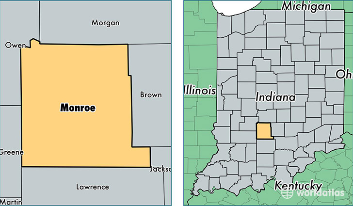
Monroe County is a county equivalent area found in Indiana, USA. The county government of Monroe is found in the county seat of Bloomington.
With a total 1,065.32 sq. km of land and water area, Monroe County, Indiana is the 2533rd largest county equivalent area in the United States. Home to 143,339 people, Monroe County has a total 59548 households earning 40052 on average per year.
Monroe County, Indiana - Quick Facts
| FIPS Code | 18105 |
| Area Codes | 812 |
| Time Zone | EST |
| Major Cities | Bloomington (population: 129,711), Ellettsville (population: 8,162), Unionville (population: 1,268), Stinesville (population: 202), Harrodsburg (population: 77), Smithville (population: 36) |
| Land Area | 55,343 sq miles |
| Water Area | 395 sq miles |
| Household Income | $40,052 |
| Housing Units | 59,548 |
| Median Home Value | $156,300 |
| High School Grads | 92% of population |
| Holders of Bachelors Degrees | 43% of population |
| Retail Spending | $11,968 per capita |
| Food & Accomodation Sales | $287,796 per capita |
| Universities and Colleges | Indiana University-Bloomington, Hair Arts Academy |
This page was last updated on June 30, 2016.