Where is Montgomery County, Iowa?
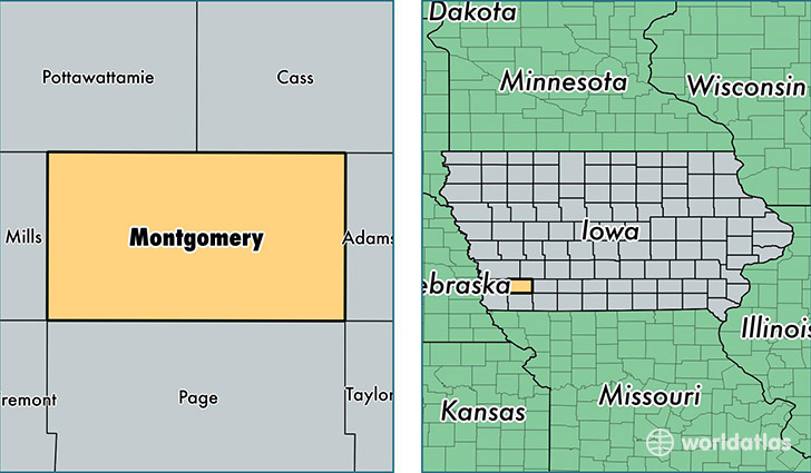
Montgomery County is a county equivalent area found in Iowa, USA. The county government of Montgomery is found in the county seat of Red Oak.
With a total 1,100.82 sq. km of land and water area, Montgomery County, Iowa is the 2468th largest county equivalent area in the United States. Home to 10,421 people, Montgomery County has a total 5188 households earning 44281 on average per year.
Montgomery County, Iowa - Quick Facts
| FIPS Code | 19137 |
| Area Codes | 712 |
| Time Zone | CST |
| Major Cities | Red Oak (population: 6,921), Villisca (population: 2,024), Stanton (population: 1,075), Elliott (population: 612), Grant (population: 85) |
| Land Area | 4,024 sq miles |
| Water Area | 424 sq miles |
| Household Income | $44,281 |
| Housing Units | 5,188 |
| Median Home Value | $79,600 |
| High School Grads | 87% of population |
| Holders of Bachelors Degrees | 15% of population |
| Retail Spending | $8,071 per capita |
| Food & Accomodation Sales | $7,599 per capita |
This page was last updated on June 30, 2016.