Where is Adair County, Iowa?
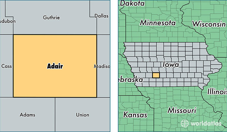
Adair County is a county equivalent area found in Iowa, USA. The county government of Adair is found in the county seat of Greenfield.
With a total 1,477. sq. km of land and water area, Adair County, Iowa is the 1931st largest county equivalent area in the United States. Home to 7,454 people, Adair County has a total 3666 households earning 47892 on average per year.
Adair County, Iowa - Quick Facts
| FIPS Code | 19001 |
| Area Codes | 641 |
| Time Zone | CST |
| Major Cities | Greenfield (population: 2,668), Adair (population: 1,266), Fontanelle (population: 1,093), Orient (population: 775), Bridgewater (population: 366) |
| Land Area | 2,878 sq miles |
| Water Area | 569 sq miles |
| Household Income | $47,892 |
| Housing Units | 3,666 |
| Median Home Value | $90,900 |
| High School Grads | 91% of population |
| Holders of Bachelors Degrees | 16% of population |
| Retail Spending | $6,546 per capita |
| Food & Accomodation Sales | $4,128 per capita |
This page was last updated on June 30, 2016.