Where is Roswell, GA?
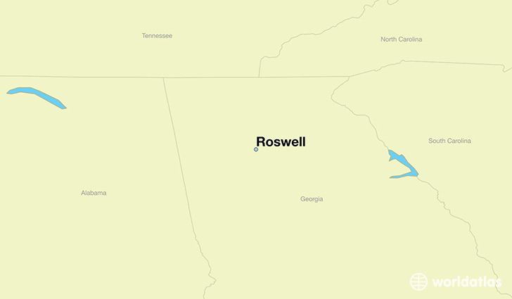
Roswell is a city found in Georgia, The United States Of America. It is located 34.02 latitude and -84.36 longitude and it is situated at elevation 333 meters above sea level.
Roswell has a population of 88,346 making it the 7th biggest city in Georgia. It operates on the EDT time zone, which means that it follows the same time zone as Atlanta.
Quick facts
| Country | The United States Of America |
| State | Georgia |
| Population | 88,346 |
| Elevation | 333 m over sea level |
| Time Zone | EDT |
| Longitude | -84.361590 |
| Latitude | 34.023160 |
Roswell has a population of around 93471, of which 47128 (50%) are male and 46343 (49%) are female. The average age of the inhabitants of Roswell is 37.32, meaning that the average person is above the national median age of 37. For every male, there are approximately 0.98 females, meaning that the population is relatively evenly distributed between males and female(s).
Of Roswell's 93471 residents, around 91299 (97.70%) identify as having a single race. The majority of the population is white, which consists of 76.80% of the population. Of the remaining population, 12802 are black/African Americans (13.70%), 413 are native Americans (0.40%), 4682 are asians (5.00%), 17 are pacific islanders (0.00%), 1612 are other (1.70%).
The median income of households in Roswell is $82150.00, meaning that most of the households are above the poverty threshold for families of three. Of the total population, 3.10% of households reported an annual income of less than $10,000.
Roswell, GA Zipcodes
The city of Roswell has 6 zipcodes recognized by the United States Census Bureau: 30004, 30009, 30022, 30075, 30076, 30350.