Where is Brantley County, Georgia?
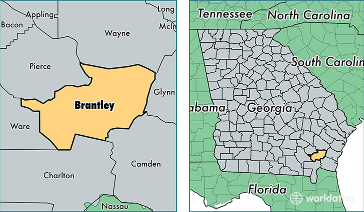
Brantley County is a county equivalent area found in Georgia, USA. The county government of Brantley is found in the county seat of Nahunta.
With a total 1,158.25 sq. km of land and water area, Brantley County, Georgia is the 2352nd largest county equivalent area in the United States. Home to 18,417 people, Brantley County has a total 7862 households earning 36070 on average per year.
Brantley County, Georgia - Quick Facts
| FIPS Code | 13025 |
| Area Codes | 912 |
| Time Zone | EST |
| Major Cities | Nahunta (population: 5,288), Hortense (population: 4,841), Waynesville (population: 3,505), Hoboken (population: 2,837) |
| Land Area | 7,111 sq miles |
| Water Area | 442 sq miles |
| Household Income | $36,070 |
| Housing Units | 7,862 |
| Median Home Value | $68,500 |
| High School Grads | 77% of population |
| Holders of Bachelors Degrees | 6% of population |
| Retail Spending | $4,043 per capita |
| Food & Accomodation Sales | $4,259 per capita |
This page was last updated on June 30, 2016.