Where is Brevard County, Florida?
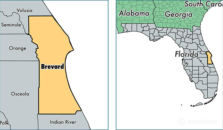
Brevard County is a county equivalent area found in Florida, USA. The county government of Brevard is found in the county seat of Titusville.
With a total 4,032.75 sq. km of land and water area, Brevard County, Florida is the 430th largest county equivalent area in the United States. Home to 556,885 people, Brevard County has a total 270634 households earning 48039 on average per year.
Brevard County, Florida offers the following attraction to visitors: Canaveral NS
Brevard County, Florida - Quick Facts
| FIPS Code | 12009 |
| Area Codes | 321 |
| Time Zone | EST |
| Major Cities | Melbourne (population: 140,658), Palm Bay (population: 105,722), Cocoa (population: 66,234), Titusville (population: 55,162), Merritt Island (population: 42,942), Rockledge (population: 36,637), Satellite Beach (population: 25,149), Cocoa Beach (population: 13,665), Indialantic (population: 12,962), Mims (population: 11,393) |
| Land Area | 215,014 sq miles |
| Water Area | 1,015 sq miles |
| Household Income | $48,039 |
| Housing Units | 270,634 |
| Median Home Value | $144,900 |
| High School Grads | 90% of population |
| Holders of Bachelors Degrees | 26% of population |
| Retail Spending | $12,339 per capita |
| Food & Accomodation Sales | $855,503 per capita |
| Universities and Colleges | Brevard Community College |
This page was last updated on June 30, 2016.